See all 2 routes on Pomme de Terre River
Missouri | Missouri Ozarks
Pomme de Terre River
Outlet Park to Cross Timbers Access
Check current paddling conditions for this Pomme de Terre River route, including water level, recent gauge trend, weather, and route details.
Route snapshot
Loading the route snapshot. This usually takes a few seconds.
Today
Get the answer fast, then scan the route.
Start with the verdict, current conditions, route plan, and quick facts before you commit to the drive.
Today's conditions
Gauge
Recent trend
Checking preferred range.
Checking trend.
Gauge source
-- Checking timestampMN DNR provides the current paddling level here, but not chart-ready recent samples.
Weather
Best window today
Checking weather.
Today by hour
Short-route forecast
Checking the next several hours.
Quick facts
Plan
Dial in the shuttle, distance, and access.
Use this section once the route looks viable and you need to turn it into an actual trip plan.
Access plan
Access, shuttle, and map
Launch at Outlet Park below Pomme de Terre Dam and take out at MDC Cross Timbers Access for a 13.6-mile lower Pomme de Terre day. USACE publishes the 100-800 cfs optimal floating release window, and the app uses the direct Hermitage USGS gauge when current observations are fresh enough for a same-day decision.
Put-in
Outlet Park / Outlet Boat Ramp Open mapOutlet Park is a USACE recreation area below Pomme de Terre Dam with the Outlet Boat Ramp accessing the river. The coordinate is anchored to the USGS 06921350 / Outlet Park corridor; follow USACE signs for the exact ramp, parking, and any campground or day-use rules.
Take-out
Cross Timbers Access Open mapCross Timbers Access is an MDC-managed, USACE-leased public access with a boat ramp and parking lot. The coordinate is a practical ramp-area anchor from public map context; follow MDC signs and the area map for exact parking and launch position.
Pulling access map tiles. Usually under 5 seconds.
Access caveats
- Outlet Park is a USACE recreation area below Pomme de Terre Dam with the Outlet Boat Ramp accessing the river. The coordinate is anchored to the USGS 06921350 / Outlet Park corridor; follow USACE signs for the exact ramp, parking, and any campground or day-use rules.
- Cross Timbers Access is an MDC-managed, USACE-leased public access with a boat ramp and parking lot. The coordinate is a practical ramp-area anchor from public map context; follow MDC signs and the area map for exact parking and launch position.
- This is a dam-release route. USACE says optimal floating is when the lake releases 100 to 800 cfs into the river, and high release rates can cause sudden rises and turbulence. Verify that the Hermitage USGS value is fresh before relying on it for a same-day go/no-go call.
Watch for
- Flows below about 100 cfs, when the USACE optimal floating window is not met and low-water dragging or slow travel becomes more likely.
- Flows above about 800 cfs, high or changing dam releases, sudden rises, turbulence, stronger current, and harder take-out conditions.
- Flood debris, strainers, rural access roads, limited services, hot-weather powerboat or angler traffic near accesses, and Truman Reservoir backwater effects near the lower end.
- Private land away from public accesses and lawful gravel-bar stops; do not assume banks are public picnic or camping areas.
Route gallery
See this route on the water
Photos help show what the access looks like and what the route actually feels like on the water.
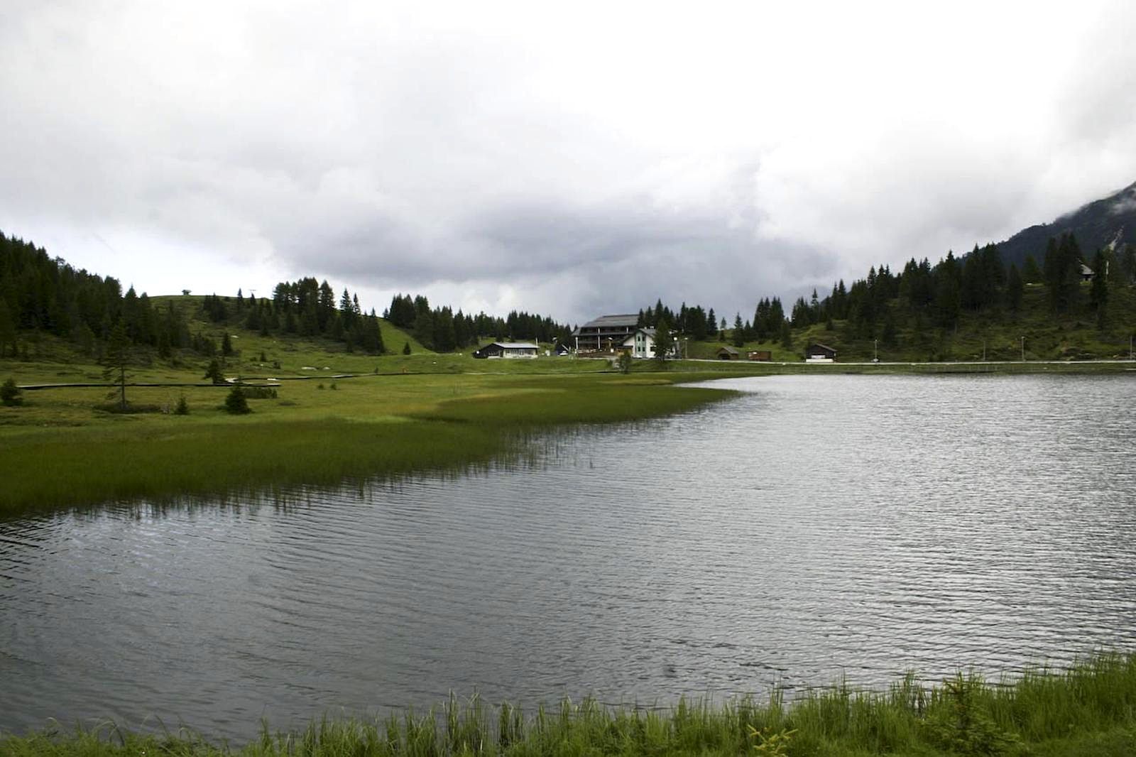
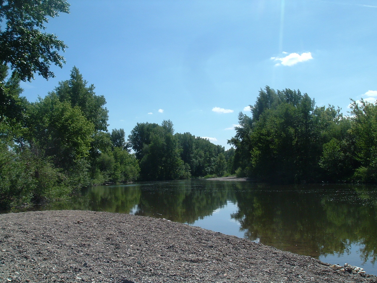
No approved route photos yet
Start the gallery with shots of the access, river character, or any detail that helps paddlers know what this run actually looks like.
Sources
Check the data behind today's call.
Use this section when the page shows stale data, limited confidence, or a call you want to verify before driving.
Why this score Today's data confidence is checking
Data confidence mostly comes down to three things: how direct the gauge is, how clear the range is, and how fresh the data is.
- Checking data confidence notes.
- Checking data confidence cautions.
Outlook Tomorrow and weekend
This is a cautious early look. If the data is too thin, we leave it out.
Waiting on forecast.
Waiting on forecast.
Data behind the score Gauge, thresholds, and timing
These are the live readings and threshold notes behind today's score.
| Gauge site | Pomme de Terre River near Hermitage, MO |
| Discharge | Checking |
| Gauge height | Checking |
| 24h trend | Checking |
| 24h change | Checking |
| Current band | Checking |
| Rain last 24h | Checking |
| Rain last 72h | Checking |
| Air temp | Checking |
| Water temp | Checking |
| Wind | Checking |
| Gusts | Checking |
| Rain timing | Checking |
| Target band | 100 cfs to 800 cfs |
| Low threshold | 100 cfs |
| High threshold | 800 cfs |
| Data confidence behind the range | Official data source |
| Gauge observed | Checking |
| Paddle Today updated | Checking |
| Main source behind this score | USACE Pomme de Terre River Adventures floating release guidance |
| Gauge source | Checking |
| Weather source | Checking |
| Rainfall source | Checking |
Notes What to know before you go
These notes cover the access details, route quirks, and source caveats most likely to matter once you get there.
- Official release window 100-800 cfs
USACE says canoeing and kayaking are popular during summer and that optimal floating conditions are when Pomme de Terre Lake is releasing 100 to 800 cfs into the river. It also warns that high release rates can cause sudden rise and turbulence.
- Route shape Below-dam put-in to Cross Timbers, about 13.6 river miles
Float Missouri republishes MDC mile notes that place the lower-river put-in at the west-side campsite below the dam and Cross Timbers public-use area access at river mile 13.6.
- Public put-in Outlet Park / Outlet Boat Ramp
USACE says the Outlet Boat Ramp is within Outlet Park, accesses the Pomme de Terre River below the dam, has bathrooms within walking distance, and does not charge a boat-launch fee.
- Public take-out Cross Timbers Access
MDC says Cross Timbers Access is leased from USACE to provide Pomme de Terre River access, with a boat ramp and parking lot.
- Cross Timbers management plan Managed for public river access
The MDC Cross Timbers and Hermitage Accesses management plan says Cross Timbers is managed to provide public access to the Pomme de Terre River and lists a concrete ramp, privy, parking, and camping site.
- Direct live gauge USGS 06921350
USGS operates the Pomme de Terre River near Hermitage gauge in the route corridor. The legacy current page showed 1,570 cfs and 6.37 ft at 08:45 CDT on June 1, 2026 during add review, which is above the USACE optimal floating window; a June 4 audit still found that as the most recent visible legacy value, so same-day freshness must be verified before relying on the gauge.
Verify it yourself Check the source links
Use these links to double-check the gauge, route details, and access notes before you head out.
Paddler reports
Recent notes from paddlers
A few quick notes from people who were on this route recently.
Reports
Photos, paddler notes, and updates.
See what others have shared, then add a condition report, upload photos, or flag anything that needs fixing.
Share your trip
Keep exploring
More routes to check next
Compare another stretch on this river, or jump to nearby options before you pick a plan.
Quick answers
Pomme de Terre River paddling FAQ
What water level is good for paddling Pomme de Terre River?
Paddle Today watches Pomme de Terre River near Hermitage, MO and treats 100 cfs to 800 cfs as the target band for this route, with weather and recent trend included in the final score.
Where does this Pomme de Terre River route start and end?
This route starts at Outlet Park / Outlet Boat Ramp and ends at Cross Timbers Access, about About 13.6 mi on the water.
Is this Pomme de Terre River route good for beginners?
This is listed as an easy route, but conditions still matter. Check today's score, water level, weather, and access notes before you go.
Flag a change
See something outdated?
Access, hazards, wood, and shuttle details change. Send a quick correction if something looks off.