State routes

Kansas Rivers

Compare 11 tracked Kansas paddle routes with route links, water-level context, difficulty, and access planning details.

Paddle Today only lists routes when the gauge, threshold, and source support are defensible enough for live route scoring.

11 routes1 river2 regions0 beginner routes

Loading supported rivers and route reaches.

Explore supported Kansas rivers

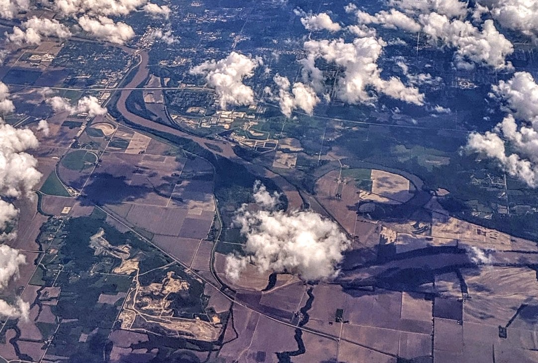
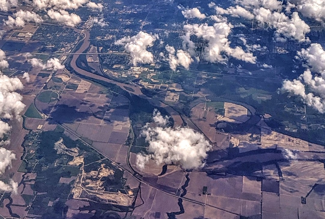
Scan the highlighted river network from above, then use the route guides and access markers to find a supported reach.

11 route markers1 multi-route rivers0 beginner routes
Supported riverSelected reach80Great today60Tradeoffs40Skip today

Best Kansas routes today

Loading current scores, gauge reads, and weather signals.

--Live
Northeast Kansas

Kansas River

Eudora to De Soto

Moderate | About 10.7 mi | About 3.5 hr to 5 hr, longer with low water, wind, or sandbar stops
View route
--Live
Northeast Kansas

Kansas River

Junction City Access Ramp to Ogden Access Ramp

Moderate | A little over 9 mi | About 3 hr to 4 hr, longer with low water, wind, or confluence scouting
View route
--Live
Northeast Kansas

Kansas River

Lawrence 8th Street to Eudora

Moderate | About 9 mi | About 3 hr to 4 hr, longer with low water, wind, stops, or the Wakarusa turn
View route
--Live
Northeast Kansas

Kansas River

Lecompton / Rising Sun to Lawrence Riverfront Park

Moderate | About 10.2 mi | About 3.5 hr to 5 hr, longer with low water, wind, or sandbar stops
View route

This panel hydrates from live Paddle Today scores. The route links above remain useful when JavaScript or the score API is unavailable.

Good starting points in Kansas

Ranked from route metadata, source support, difficulty, and logistics.
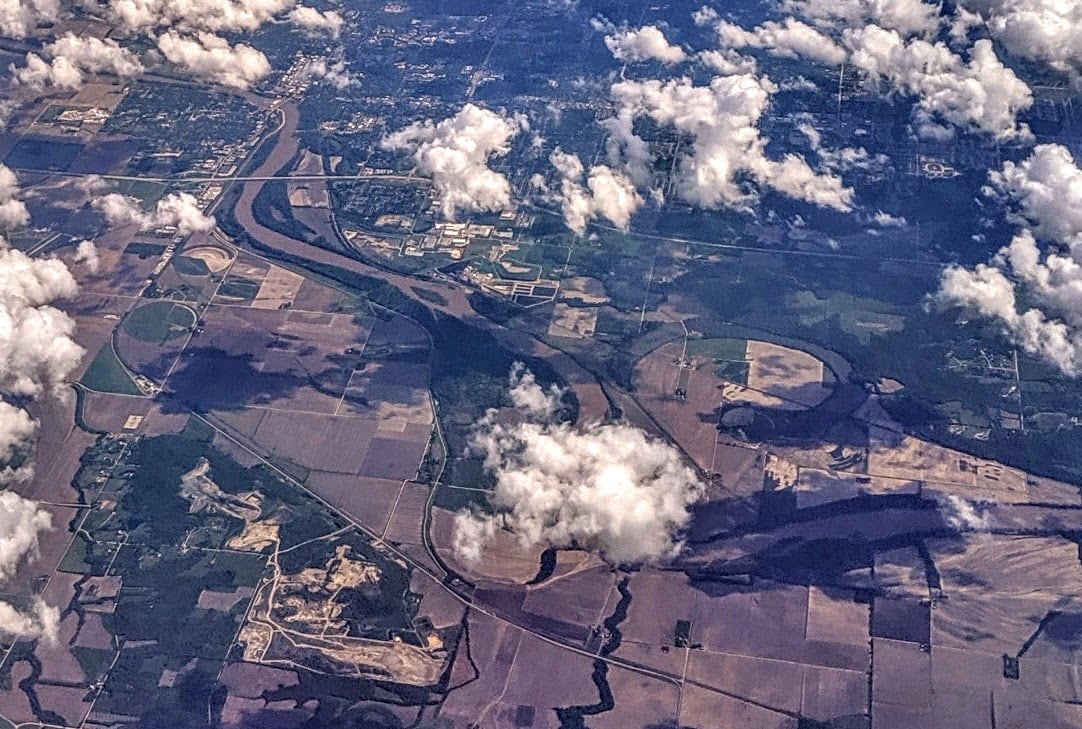
An aerial view shows the Kansas River curving past Lawrence with broad sandbars, wooded banks, and city bridges in the distance.
Kansas routeNortheast KansasKansas RiverEudora to De SotoLaunch from the Eudora ramp on the Wakarusa River, paddle downstream to the Kansas River, and take out at De Soto. The De Soto USGS gauge is in the take...

Route facts

Moderate | About 10.7 mi | About 3.5 hr to 5 hr, longer with low water, wind, or sandbar stopsmixed source support
An aerial view shows the Kansas River with broad sandbars, wooded banks, and bridges in the distance.
Kansas routeNortheast KansasKansas RiverJunction City Access Ramp to Ogden Access RampLaunch at the Junction City ramp on the Republican River, paddle about one-third mile to the Smoky Hill confluence where the Kansas River begins, and ta...

Route facts

Moderate | A little over 9 mi | About 3 hr to 4 hr, longer with low water, wind, or confluence scoutingmixed source support
An aerial view shows the Kansas River curving past Lawrence with broad sandbars, wooded banks, and city bridges in the distance.
Kansas routeNortheast KansasKansas RiverLawrence 8th Street to EudoraLaunch below the Lawrence dam complex at the Riverfront Park East / 8th Street ramp and take out at Eudora. This is a public Kansas River Water Trail se...

Route facts

Moderate | About 9 mi | About 3 hr to 4 hr, longer with low water, wind, stops, or the Wakarusa turnmixed source support
An aerial view shows the Kansas River curving past Lawrence with broad sandbars, wooded banks, and city bridges in the distance.
Kansas routeNortheast KansasKansas RiverLecompton / Rising Sun to Lawrence Riverfront ParkLaunch at Lecompton / Rising Sun and take out at Lawrence Riverfront Park above Bowersock Dam for a 10.2-mile lower-Kaw day. The app uses the downstream...

Route facts

Moderate | About 10.2 mi | About 3.5 hr to 5 hr, longer with low water, wind, or sandbar stopsmixed source support
An aerial view shows the Kansas River with broad sandbars, wooded banks, and bridges in the distance.
Kansas routeNortheast KansasKansas RiverOgden Access Ramp to Manhattan K-177 / FairmontLaunch at Ogden and take out at the Manhattan K-177 / Fairmont ramp for a 14-mile upper-Kaw day. Friends of the Kaw describes this as a beautiful, relat...

Route facts

Moderate | About 14 mi | About 4.5 hr to 6 hr, longer with low water, wind, stops, or ramp sandmixed source support
An aerial view shows the Kansas River with broad sandbars, wooded banks, and bridges in the distance.
Kansas routeNortheast KansasKansas RiverTopeka Water Plant to Seward Avenue / Fool's LandingLaunch from the downstream ramp at the Topeka Water Plant access and take out at Seward Avenue / Fool's Landing for a guarded Topeka-area Kaw trip. The...

Route facts

Moderate | About 10.6 mi | About 3.5 hr to 5 hr, longer with low water, wind, dredge traffic, or bridge scoutingmixed source support

Routes with practical logistics

Use the live weekend board for score-based recommendations.

Rivers and regions

Compact directory links for crawlers and planners.

Every Kansas route on Paddle Today

11 server-rendered route links.

Showing all 11 routes.

Kansas paddling FAQ

How does Paddle Today choose Kansas paddle routes?

Paddle Today lists Kansas routes when the route has enough defensible gauge, threshold, source, and logistics support to make a live route score useful. The current Kansas page includes 11 tracked routes across 1 river.

Are these Kansas river conditions live?

The route links on this page are server-rendered and crawlable. Each route page then checks live gauge readings, weather, water-level context, and route score data before you make a same-day call.

Can I request another Kansas route?

Yes. Use the request form to send the river, reach, access points, and any source links. Paddle Today prioritizes routes where a public gauge or defensible threshold support can back the live score.