State routes

Tennessee Rivers

Compare 4 tracked Tennessee paddle routes with route links, water-level context, difficulty, and access planning details.

Paddle Today only lists routes when the gauge, threshold, and source support are defensible enough for live route scoring.

4 routes3 rivers3 regions1 beginner routes

Loading supported rivers and route reaches.

Explore supported Tennessee rivers

Scan the highlighted river network from above, then use the route guides and access markers to find a supported reach.

4 route markers1 multi-route rivers1 beginner routes
Supported riverSelected reach80Great today60Tradeoffs40Skip today

Best Tennessee routes today

Loading current scores, gauge reads, and weather signals.

--Live
East Tennessee

Pigeon River

Hartford Bridge to Denton

Moderate | About 4.8 mi | About 1.5 hr to 3 hr depending on release timing, traffic, scouting, and group skill
View route
--Live
Cumberland Plateau

Big South Fork

Burnt Mill Bridge to Leatherwood Ford

Hard | About 11 mi | Full gorge day; allow extra time for scouting, portage decisions, rescue margin, and the flatwater finish
View route
--Live
East Tennessee

Pigeon River

Waterville / Big Creek Bridge to Hartford Bridge

Hard | About 4.3 mi | About 1 hr to 2 hr for competent whitewater groups during release water, longer with scouting, traffic, or changed post-Helene lines
View route
--Live
Chattanooga

South Chickamauga Creek

Shallowford Road to Sterchi Farm Park

Easy | About 6 mi | About 2 hr in normal levels, longer with low-water scraping, wood, or Tennessee River backwater
View route

This panel hydrates from live Paddle Today scores. The route links above remain useful when JavaScript or the score API is unavailable.

Good starting points in Tennessee

Ranked from route metadata, source support, difficulty, and logistics.
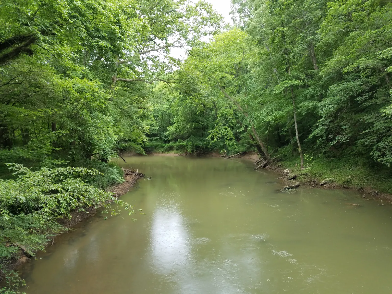
The Pigeon River runs through Hartford, Tennessee, with forested banks and whitewater current below the road.
Tennessee routeEast TennesseePigeon RiverHartford Bridge to DentonLaunch at Hartford Bridge and take out near Denton / Greasy Cove for the lower Pigeon. Use the Waterville USGS gauge and current release schedule, with...

Route facts

Moderate | About 4.8 mi | About 1.5 hr to 3 hr depending on release timing, traffic, scouting, and group skillmixed source support
The Big South Fork flows through the wooded Leatherwood Ford gorge corridor in Tennessee.
Tennessee routeCumberland PlateauBig South ForkBurnt Mill Bridge to Leatherwood FordLaunch at Burnt Mill Bridge on Clear Fork and take out at Leatherwood Ford for the classic Big South Fork gorge extension. Use the Leatherwood Ford USGS...

Route facts

Hard | About 11 mi | Full gorge day; allow extra time for scouting, portage decisions, rescue margin, and the flatwater finishmixed source support
The Pigeon River runs through Hartford, Tennessee, with forested banks and whitewater current below the road.
Tennessee routeEast TennesseePigeon RiverWaterville / Big Creek Bridge to Hartford BridgeLaunch at the current Waterville / Big Creek bridge put-in and take out at Hartford Bridge for the upper Pigeon Gorge. Use USGS 03460795 and the active...

Route facts

Hard | About 4.3 mi | About 1 hr to 2 hr for competent whitewater groups during release water, longer with scouting, traffic, or changed post-Helene linesmixed source support
South Chickamauga Creek runs through a leafy corridor at Audubon Acres in Chattanooga, Tennessee.
Tennessee routeChattanoogaSouth Chickamauga CreekShallowford Road to Sterchi Farm ParkLaunch at Shallowford Road and take out at Sterchi Farm Park for a short South Chickamauga Creek blueway trip through the Chattanooga greenway corridor....

Route facts

Easy | About 6 mi | About 2 hr in normal levels, longer with low-water scraping, wood, or Tennessee River backwatercommunity source support

Tennessee beginner routes

These routes are tagged easy in the route data. Today's water can still change the call.

Routes with practical logistics

Use the live weekend board for score-based recommendations.

Rivers and regions

Compact directory links for crawlers and planners.

Every Tennessee route on Paddle Today

4 server-rendered route links.

Showing all 4 routes.

Tennessee paddling FAQ

How does Paddle Today choose Tennessee paddle routes?

Paddle Today lists Tennessee routes when the route has enough defensible gauge, threshold, source, and logistics support to make a live route score useful. The current Tennessee page includes 4 tracked routes across 3 rivers.

Are these Tennessee river conditions live?

The route links on this page are server-rendered and crawlable. Each route page then checks live gauge readings, weather, water-level context, and route score data before you make a same-day call.

Can I request another Tennessee route?

Yes. Use the request form to send the river, reach, access points, and any source links. Paddle Today prioritizes routes where a public gauge or defensible threshold support can back the live score.