
State routes
Illinois Rivers
Compare 11 tracked Illinois paddle routes with route links, water-level context, difficulty, and access planning details.
Paddle Today only lists routes when the gauge, threshold, and source support are defensible enough for live route scoring.
Coverage snapshot
Explore supported Illinois rivers
Scan the highlighted river network from above, then use the route guides and access markers to find a supported reach.
Live conditions
Best Illinois routes today
Loading current scores, gauge reads, and weather signals.
Mississippi River
Piasa Harbor to Alton Riverfront
Hard | About 7 mi | About 3–5 hr depending on wind, current, stops, and trafficFox River
Marge Cline Whitewater Course
Moderate | 0.23 mi / about 1,100 ft | Play-park session; laps vary by level and skillKishwaukee River
Hickory Bills Canoe Launch to Distillery Road Conservation Area
Easy | About 4.4 mi | About 1.5 hr to 2.5 hr, longer in low water or headwindVermilion River
Lowell to Oglesby Boat Launch
Hard | 8.2 mi | About 3 hr to 4 hr for a competent whitewater groupCurrent scores load here when available. You can still open the route links to check details and sources if this update fails.
Best route options
Good starting points in Illinois
Ranked from route metadata, source support, difficulty, and logistics.
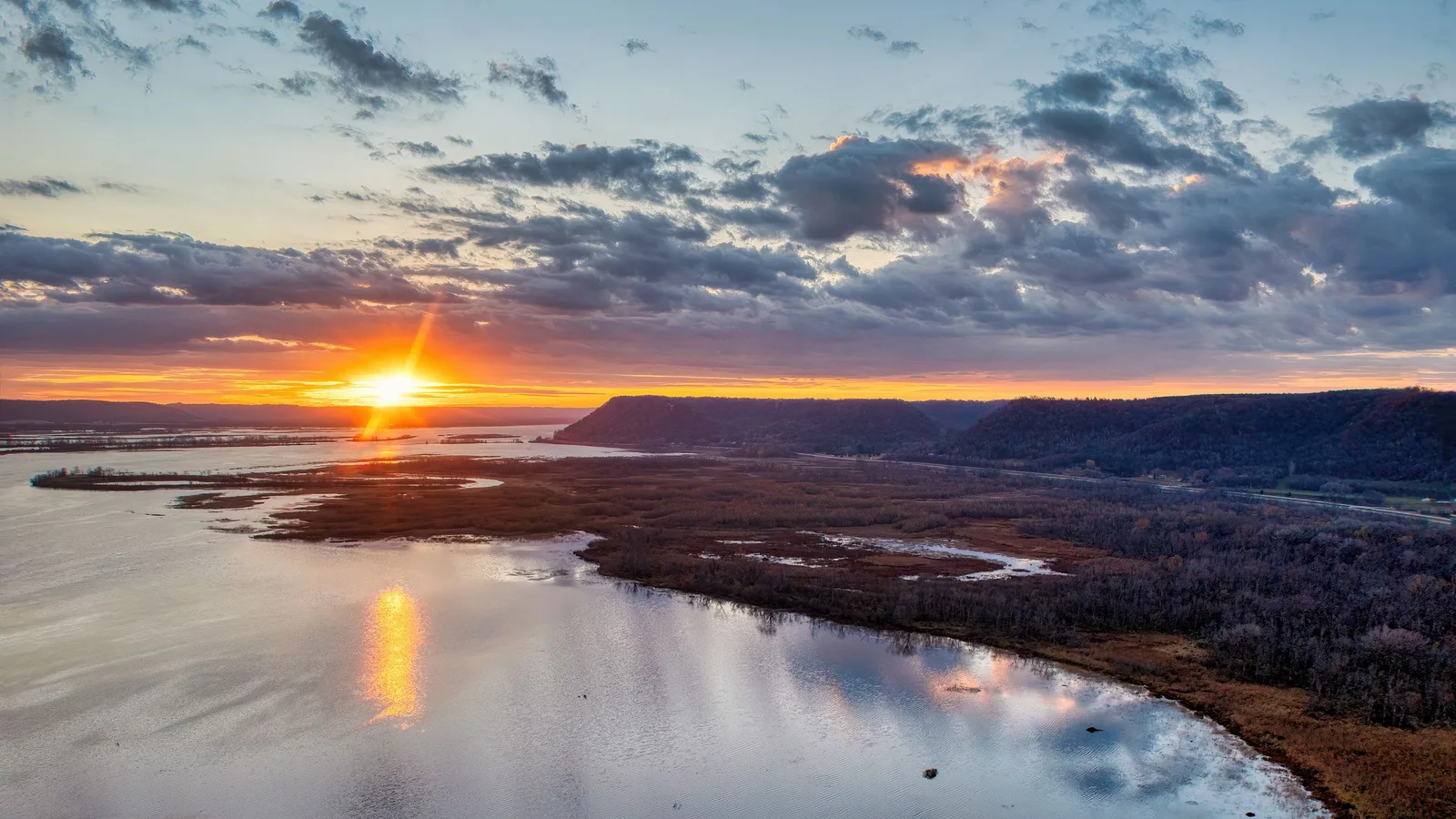 Photo unavailable
Route facts
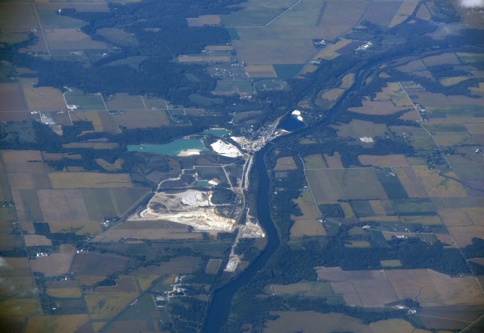 Photo unavailable
Route facts
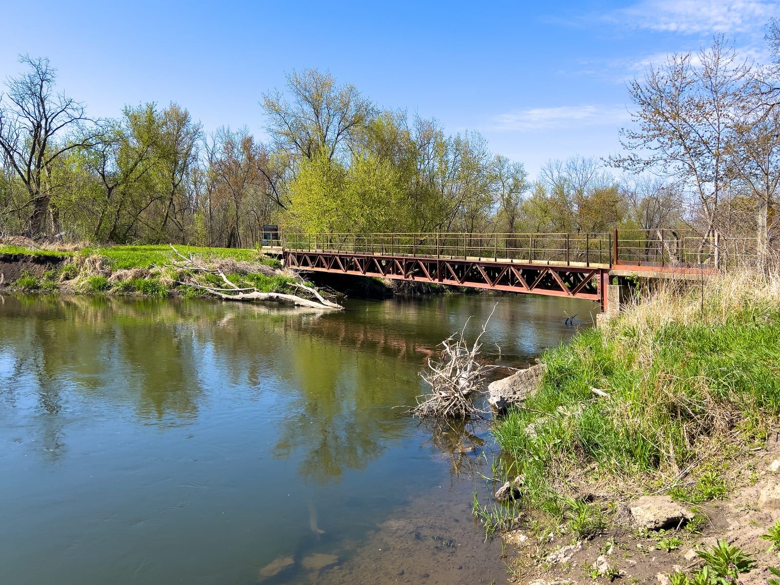 Photo unavailable
Route facts
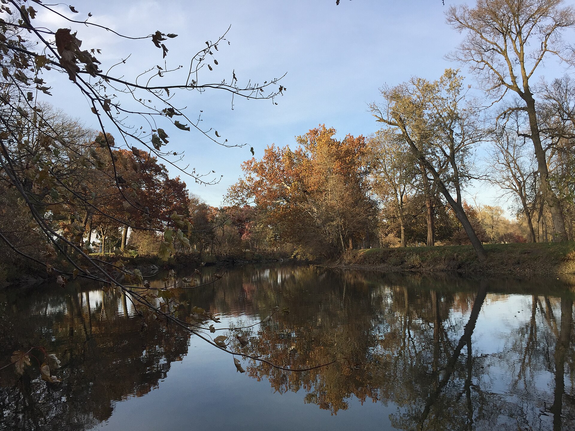 Photo unavailable
Route facts
 Photo unavailable
Route facts
Photo unavailableRoute facts
Beginner routes
Illinois beginner routes
These routes are tagged easy in the route data. Today's water can still change the call.
Weekend planning
Routes with practical logistics
Use the live weekend board for score-based recommendations.
Browse coverage
Rivers and regions
Expand a river or region to browse its routes.
By river
Big Bureau Creek1
Blackberry Creek1
Hickory Creek1
Kishwaukee River1
Middle Fork Vermilion River1
Mississippi River1
South Branch Kishwaukee River1
Vermilion River1
West Branch Du Page River1
By region
East-Central Illinois1
Metro-East Illinois1
North-Central Illinois1
North-central Illinois1
Northeastern Illinois3
Northern Illinois3
Northwest Illinois0
Southern Illinois1
Need broader planning context?
Weekend boardExplore all routesRequest a routeAll tracked routes
Every Illinois route on Paddle Today
11 routes with condition and access details.
Showing all 11 routes.
Quick answers
Illinois paddling FAQ
How does Paddle Today choose Illinois paddle routes?
Paddle Today lists Illinois routes when the route has enough defensible gauge, threshold, source, and logistics support to make a live route score useful. The current Illinois page includes 11 scored routes across 11 rivers.
Are these Illinois river conditions live?
Open a route page for the latest available gauge readings, weather, water-level context, and route score. Check the update times and any missing-data notices, then verify conditions with the linked sources before leaving.
Can I request another Illinois route?
Yes. Use the request form to send the river, reach, access points, and any source links. Paddle Today prioritizes routes where a public gauge or defensible threshold support can back the live score.