State routes

Missouri Rivers

Compare 77 tracked Missouri paddle routes with route links, water-level context, difficulty, and access planning details.

Paddle Today only lists routes when the gauge, threshold, and source support are defensible enough for live route scoring.

77 routes14 rivers4 regions37 beginner routes

Loading supported rivers and route reaches.

Explore supported Missouri rivers

Scan the highlighted river network from above, then use the route guides and access markers to find a supported reach.

77 route markers9 multi-route rivers37 beginner routes
Supported riverSelected reach80Great today60Tradeoffs40Skip today

Best Missouri routes today

Loading current scores, gauge reads, and weather signals.

--Live
Missouri Ozarks

Pomme de Terre River

Outlet Park to Cross Timbers Access

Easy | About 13.6 mi | About 5 hr to 7 hr when releases are in the USACE floating window, longer with low water, wind, stops, or debris
View route
--Live
Missouri Ozarks

Big River

Mammoth Access to Merrill Horse Access

Easy | About 5.4 mi | About 2 hr to 3.5 hr depending on level, stops, and wood
View route
--Live
Southwest Missouri

Beaver Creek

Beaver Creek Campground / Brownbranch to Highway 76 Bridge at Bradleyville

Moderate | About 7.9 mi | About 4 hr to 6 hr, longer with low water, portages, wood, or slow fishing stops
View route
--Live
Missouri Ozarks

Big Piney River

Boiling Spring Access to Mason Bridge Access

Easy | About 6 mi | About 2.5 hr to 4 hr, longer with low water, fishing, or stops
View route

This panel hydrates from live Paddle Today scores. The route links above remain useful when JavaScript or the score API is unavailable.

Good starting points in Missouri

Ranked from route metadata, source support, difficulty, and logistics.
Placeholder river image for Pomme de Terre River - Outlet Park to Cross Timbers Access.
Missouri routeMissouri OzarksPomme de Terre RiverOutlet Park to Cross Timbers AccessLaunch at Outlet Park below Pomme de Terre Dam and take out at MDC Cross Timbers Access for a 13.6-mile lower Pomme de Terre day. USACE publishes the 10...

Route facts

Easy | About 13.6 mi | About 5 hr to 7 hr when releases are in the USACE floating window, longer with low water, wind, stops, or debrisofficial source support
Placeholder river image for Big River - Mammoth Access to Merrill Horse Access.
Missouri routeMissouri OzarksBig RiverMammoth Access to Merrill Horse AccessLaunch at MDC Mammoth Access and take out at MDC Merrill Horse Access for a 5.4-mile Big River day west of De Soto. Use the Richwoods USGS gauge as the...

Route facts

Easy | About 5.4 mi | About 2 hr to 3.5 hr depending on level, stops, and woodcommunity source support
Placeholder river image for Beaver Creek - Beaver Creek Campground / Brownbranch to Highway 76 Bridge at Bradleyville.
Missouri routeSouthwest MissouriBeaver CreekBeaver Creek Campground / Brownbranch to Highway 76 Bridge at BradleyvilleLaunch at Beaver Creek Campground in Brownbranch and take out at the Highway 76 bridge area in Bradleyville for a 7.9-mile Beaver Creek day. Use the Bra...

Route facts

Moderate | About 7.9 mi | About 4 hr to 6 hr, longer with low water, portages, wood, or slow fishing stopscommunity source support
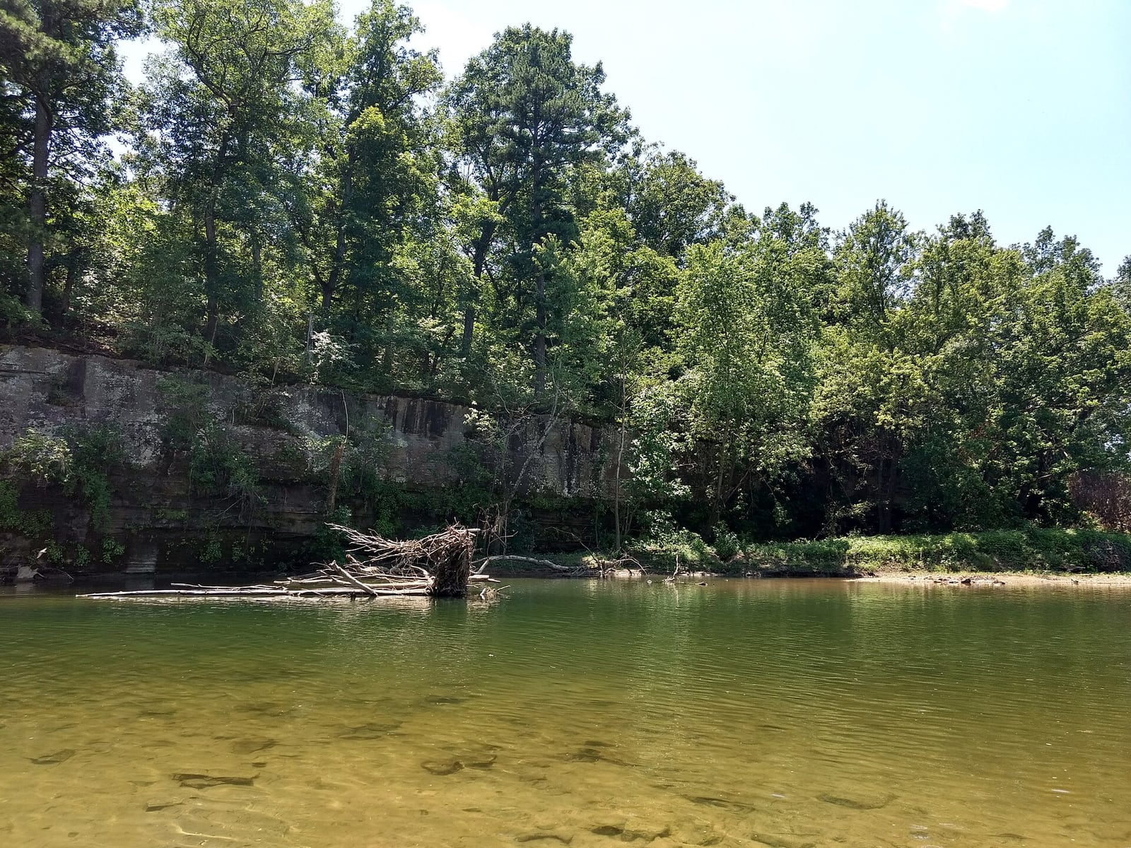
The Big Piney River bends below a wooded bluff and gravel bar near Missouri Route 17.
Missouri routeMissouri OzarksBig Piney RiverBoiling Spring Access to Mason Bridge AccessLaunch at MDC Boiling Spring Access and take out at Mason Bridge Access for the MDC-described six-mile Big Piney day float. Use the Big Piney USGS gauge...

Route facts

Easy | About 6 mi | About 2.5 hr to 4 hr, longer with low water, fishing, or stopscommunity source support
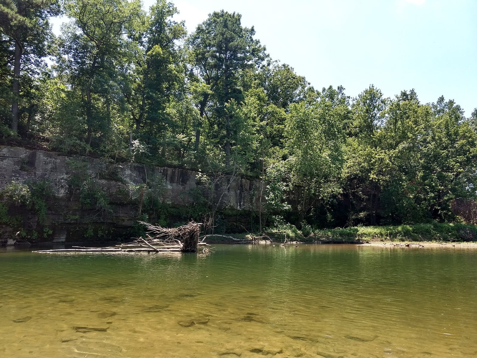
The Big Piney River bends below a wooded bluff and gravel bar near Missouri Route 17.
Missouri routeMissouri OzarksBig Piney RiverDogs Bluff Access to Mineral Springs AccessLaunch at MDC Dogs Bluff Access and take out at MDC Mineral Springs Access for a short upper Big Piney day near Houston. Use the Big Piney USGS gauge as...

Route facts

Easy | About 4.9 to 6 mi | About 2 hr to 3.5 hr depending on level, stops, and woodcommunity source support
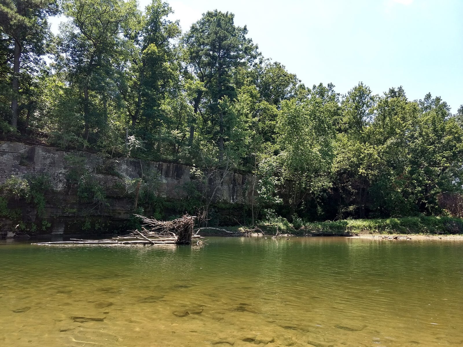
The Big Piney River flows through a green Missouri corridor with wooded banks and a shallow gravel edge.
Missouri routeMissouri OzarksBig Piney RiverEast Gate Access to Bookers Bend AccessLaunch at Forest Service East Gate Access and take out at Forest Service Bookers Bend Access for the official 11-mile Big Piney day float. Use the Big P...

Route facts

Easy | 11 mi | About 4 hr to 6 hr, longer with low water, dragging, wind, or stopscommunity source support

Missouri beginner routes

These routes are tagged easy in the route data. Today's water can still change the call.

Showing 8 of 37 beginner routes. Use the Easy difficulty filter below to see the full set.

Routes with practical logistics

Use the live weekend board for score-based recommendations.

Rivers and regions

Compact directory links for crawlers and planners.

By river

Eleven Point River20
Current River16
Jacks Fork River15
Big Piney River6
Meramec River5
James River4
Bryant Creek2
Gasconade River2
North Fork of the White River2
Beaver Creek1
Big River1
Niangua River1
Pomme de Terre River1
Shoal Creek1

By region

Central Missouri2
Missouri Ozarks69
Southwest Missouri5
Springfield area1

Every Missouri route on Paddle Today

77 server-rendered route links.

Showing all 77 routes.

Beaver CreekBeaver Creek Campground / Brownbranch to Highway 76 Bridge at BradleyvilleSouthwest Missouri | ModerateBig Piney RiverBoiling Spring Access to Mason Bridge AccessMissouri Ozarks | EasyBig Piney RiverDogs Bluff Access to Mineral Springs AccessMissouri Ozarks | EasyBig Piney RiverEast Gate Access to Bookers Bend AccessMissouri Ozarks | EasyBig Piney RiverMason Bridge Access to Slabtown Recreation AreaMissouri Ozarks | EasyBig Piney RiverSandy Shoals Ford to Boiling Spring AccessMissouri Ozarks | EasyBig Piney RiverSlabtown Recreation Area to Ross AccessMissouri Ozarks | ModerateBig RiverMammoth Access to Merrill Horse AccessMissouri Ozarks | EasyBryant CreekSycamore Access to Warren Bridge AccessMissouri Ozarks | ModerateBryant CreekWarren Bridge Access to Flo Cook AccessMissouri Ozarks | ModerateCurrent RiverAkers Ferry to PulltiteMissouri Ozarks | EasyCurrent RiverAkers Ferry to Round SpringMissouri Ozarks | EasyCurrent RiverBig Spring Upper River Landing to Cataract LandingMissouri Ozarks | EasyCurrent RiverBig Spring Upper River Landing to Gooseneck / Hawes Recreation AreaMissouri Ozarks | ModerateCurrent RiverCataract Landing to Gooseneck / Hawes Recreation AreaMissouri Ozarks | EasyCurrent RiverCedar Grove to Akers FerryMissouri Ozarks | EasyCurrent RiverCedar Grove to PulltiteMissouri Ozarks | EasyCurrent RiverCedar Grove to Round SpringMissouri Ozarks | EasyCurrent RiverPulltite to Round SpringMissouri Ozarks | EasyCurrent RiverVan Buren Riverfront Park to Big Spring Upper River LandingMissouri Ozarks | EasyCurrent RiverVan Buren Riverfront Park to Cataract LandingMissouri Ozarks | ModerateCurrent RiverVan Buren Riverfront Park to Gooseneck / Hawes Recreation AreaMissouri Ozarks | ModerateCurrent RiverWaymeyer Access to Big Spring Upper River LandingMissouri Ozarks | EasyCurrent RiverWaymeyer Access to Cataract LandingMissouri Ozarks | ModerateCurrent RiverWaymeyer Access to Gooseneck / Hawes Recreation AreaMissouri Ozarks | ModerateCurrent RiverWaymeyer Access to Van Buren Riverfront ParkMissouri Ozarks | EasyEleven Point RiverCane Bluff River Access to Greer Crossing Recreation AreaMissouri Ozarks | EasyEleven Point RiverCane Bluff River Access to Highway 142 River AccessMissouri Ozarks | HardEleven Point RiverCane Bluff River Access to Riverton East River AccessMissouri Ozarks | ModerateEleven Point RiverCane Bluff River Access to Turner Mill South River AccessMissouri Ozarks | EasyEleven Point RiverCane Bluff River Access to Whitten River AccessMissouri Ozarks | ModerateEleven Point RiverGreer Crossing Recreation Area to Highway 142 River AccessMissouri Ozarks | ModerateEleven Point RiverGreer Crossing Recreation Area to Riverton East River AccessMissouri Ozarks | ModerateEleven Point RiverGreer Crossing Recreation Area to Turner Mill North River AccessMissouri Ozarks | EasyEleven Point RiverGreer Crossing Recreation Area to Turner Mill South River AccessMissouri Ozarks | EasyEleven Point RiverGreer Crossing Recreation Area to Whitten River AccessMissouri Ozarks | EasyEleven Point RiverRiverton East River Access to Highway 142 River AccessMissouri Ozarks | ModerateEleven Point RiverThomasville River Access to Cane Bluff River AccessMissouri Ozarks | ModerateEleven Point RiverThomasville River Access to Greer Crossing Recreation AreaMissouri Ozarks | ModerateEleven Point RiverThomasville River Access to Turner Mill South River AccessMissouri Ozarks | ModerateEleven Point RiverThomasville River Access to Whitten River AccessMissouri Ozarks | ModerateEleven Point RiverTurner Mill South River Access to Highway 142 River AccessMissouri Ozarks | ModerateEleven Point RiverTurner Mill South River Access to Riverton East River AccessMissouri Ozarks | ModerateEleven Point RiverTurner Mill South River Access to Whitten River AccessMissouri Ozarks | EasyEleven Point RiverWhitten Access to Riverton East River AccessMissouri Ozarks | EasyEleven Point RiverWhitten River Access to Highway 142 River AccessMissouri Ozarks | ModerateGasconade RiverPointers Creek Access to Cooper Hill Conservation AreaCentral Missouri | EasyGasconade RiverRollins Ferry Access to Pointers Creek AccessCentral Missouri | EasyJacks Fork RiverAlley Spring Access to Joshua T. Chilton Memorial LandingMissouri Ozarks | EasyJacks Fork RiverBay Creek River Access to Joshua T. Chilton Memorial LandingMissouri Ozarks | ModerateJacks Fork RiverBay Creek to Alley SpringMissouri Ozarks | ModerateJacks Fork RiverBlue Spring River Access to Alley Spring AccessMissouri Ozarks | HardJacks Fork RiverBlue Spring River Access to Bay Creek River AccessMissouri Ozarks | ModerateJacks Fork RiverBlue Spring River Access to Joshua T. Chilton Memorial LandingMissouri Ozarks | HardJacks Fork RiverBlue Spring River Access to Rymers AccessMissouri Ozarks | ModerateJacks Fork RiverBuck Hollow / Highway 17 Bridge Access to Joshua T. Chilton Memorial LandingMissouri Ozarks | HardJacks Fork RiverBuck Hollow / Highway 17 Bridge to Alley Spring AccessMissouri Ozarks | HardJacks Fork RiverBuck Hollow / Highway 17 Bridge to Bay Creek River AccessMissouri Ozarks | ModerateJacks Fork RiverBuck Hollow / Highway 17 Bridge to Blue Spring River AccessMissouri Ozarks | ModerateJacks Fork RiverBuck Hollow / Highway 17 Bridge to RymersMissouri Ozarks | ModerateJacks Fork RiverRymers Access to Alley Spring AccessMissouri Ozarks | ModerateJacks Fork RiverRymers Access to Bay Creek River AccessMissouri Ozarks | ModerateJacks Fork RiverRymers Access to Joshua T. Chilton Memorial LandingMissouri Ozarks | HardJames RiverDelaware Town Access to Shelvin Rock AccessSouthwest Missouri | EasyJames RiverH.L. Kerr Access to Ralph Cox Memorial AccessSouthwest Missouri | EasyJames RiverJoe Crighton Access to Lake Springfield BoathouseSpringfield area | EasyJames RiverShelvin Rock Access to Hooten Town AccessSouthwest Missouri | EasyMeramec RiverCampbell Bridge Access to Sappington Bridge AccessMissouri Ozarks | EasyMeramec RiverMeramec State Park to Sand Ford AccessMissouri Ozarks | EasyMeramec RiverOnondaga Cave State Park to Campbell Bridge AccessMissouri Ozarks | EasyMeramec RiverSappington Bridge Access to Meramec State ParkMissouri Ozarks | EasyMeramec RiverScotts Ford Access to Riverview AccessMissouri Ozarks | EasyNiangua RiverBennett Spring Access to Barclay Conservation AreaMissouri Ozarks | ModerateNorth Fork of the White RiverBlair Bridge Access to Dawt MillMissouri Ozarks | ModerateNorth Fork of the White RiverNorth Fork Recreation Area to Blair Bridge AccessMissouri Ozarks | ModeratePomme de Terre RiverOutlet Park to Cross Timbers AccessMissouri Ozarks | EasyShoal CreekTipton Ford Access to Wildcat AccessSouthwest Missouri | Moderate

Missouri paddling FAQ

How does Paddle Today choose Missouri paddle routes?

Paddle Today lists Missouri routes when the route has enough defensible gauge, threshold, source, and logistics support to make a live route score useful. The current Missouri page includes 77 tracked routes across 14 rivers.

Are these Missouri river conditions live?

The route links on this page are server-rendered and crawlable. Each route page then checks live gauge readings, weather, water-level context, and route score data before you make a same-day call.

Can I request another Missouri route?

Yes. Use the request form to send the river, reach, access points, and any source links. Paddle Today prioritizes routes where a public gauge or defensible threshold support can back the live score.