North Dakota | Sheyenne River Valley
Sheyenne River
Valley City National Fish Hatchery to Chautauqua Park
Check current paddling conditions for this Sheyenne River route, including water level, recent gauge trend, weather, and route details.
Route snapshot
Loading the route snapshot. This usually takes a few seconds.
Today
Get the answer fast, then scan the route.
Start with the verdict, current conditions, route plan, and quick facts before you commit to the drive.
Today's conditions
Gauge
Recent trend
Checking preferred range.
Checking trend.
Gauge source
-- Checking timestampMN DNR provides the current paddling level here, but not chart-ready recent samples.
Weather
Best window today
Checking weather.
Today by hour
Short-route forecast
Checking the next several hours.
Quick facts
Plan
Dial in the shuttle, distance, and access.
Use this section once the route looks viable and you need to turn it into an actual trip plan.
Access plan
Access, shuttle, and map
Launch at the Valley City National Fish Hatchery and take out at Chautauqua Park for a short Sheyenne River Water Trail segment through Valley City. Use the USGS Baldhill Dam discharge gauge and the official 300 to 1,000 cfs optimal band, with conservative low/high cutoffs.
Put-in
Valley City National Fish Hatchery launch Open mapValley City Tourism maps identify the National Fish Hatchery and Chautauqua Park as accessible launch sites on this Sheyenne River Water Trail segment.
Take-out
Chautauqua Park accessible launch Open mapThe hatchery coordinate is a Recreation.gov/Outdooractive practical site anchor. The Chautauqua Park coordinate is from a National Scenic Byways public-domain Commons record, not a survey-grade ramp coordinate.
Pulling access map tiles. Usually under 5 seconds.
Access caveats
- Valley City Tourism maps identify the National Fish Hatchery and Chautauqua Park as accessible launch sites on this Sheyenne River Water Trail segment.
- The hatchery coordinate is a Recreation.gov/Outdooractive practical site anchor. The Chautauqua Park coordinate is from a National Scenic Byways public-domain Commons record, not a survey-grade ramp coordinate.
- Valley City Tourism warns that the Valley City Eagles launch downstream from Chautauqua Park is the last chance before a dangerous dam. This route ends at Chautauqua Park and does not continue downstream through the city dam corridor.
- USFS says the Sheyenne trail is primarily a summer paddling route and that winter freezing makes it unsuitable for watercraft.
- Check same-day park, hatchery, construction, flood, and debris conditions before staging vehicles or launching.
Watch for
- Flows at or below 100 cfs, when USFS says the river is very low and many sand or gravel bars may be exposed.
- Flows above 1,000 cfs, when current can become fast and shoreline trees, logs, and debris become more serious hazards.
- Flows above 2,000 cfs, which USFS says paddlers should avoid on the Sheyenne.
- The downstream dam hazard after the Chautauqua / Valley City Eagles area; make the planned take-out and do not drift into the dam corridor.
- Bridge areas, floating wood, strainers, shallow bars, cold water, thunderstorms, wind, and limited legal bank access outside named public sites.
Route gallery
See this route on the water
Photos help show what the access looks like and what the route actually feels like on the water.
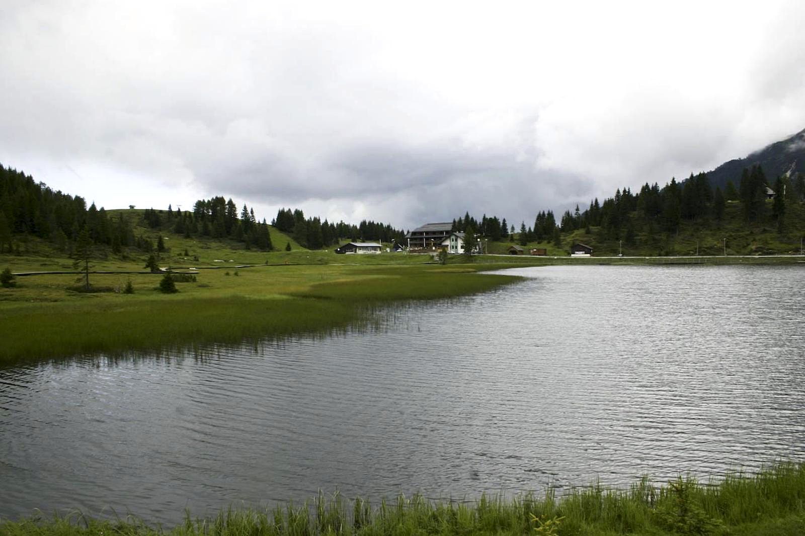
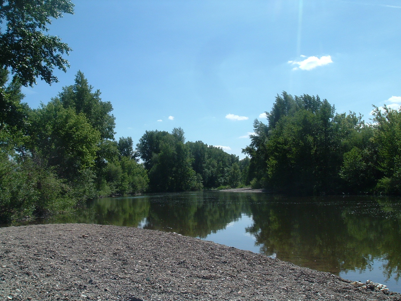
No approved route photos yet
Start the gallery with shots of the access, river character, or any detail that helps paddlers know what this run actually looks like.
Sources
Check the data behind today's call.
Use this section when the page shows stale data, limited confidence, or a call you want to verify before driving.
Why this score Today's data confidence is checking
Data confidence mostly comes down to three things: how direct the gauge is, how clear the range is, and how fresh the data is.
- Checking data confidence notes.
- Checking data confidence cautions.
Outlook Tomorrow and weekend
This is a cautious early look. If the data is too thin, we leave it out.
Waiting on forecast.
Waiting on forecast.
Data behind the score Gauge, thresholds, and timing
These are the live readings and threshold notes behind today's score.
| Gauge site | Sheyenne River below Baldhill Dam, ND |
| Discharge | Checking |
| Gauge height | Checking |
| 24h trend | Checking |
| 24h change | Checking |
| Current band | Checking |
| Rain last 24h | Checking |
| Rain last 72h | Checking |
| Air temp | Checking |
| Water temp | Checking |
| Wind | Checking |
| Gusts | Checking |
| Rain timing | Checking |
| Target band | 300 cfs to 1,000 cfs |
| Low threshold | 100 cfs |
| High threshold | 2,000 cfs |
| Data confidence behind the range | Official data source |
| Gauge observed | Checking |
| Paddle Today updated | Checking |
| Main source behind this score | USFS Sheyenne River Water Trail river conditions |
| Gauge source | Checking |
| Weather source | Checking |
| Rainfall source | Checking |
Notes What to know before you go
These notes cover the access details, route quirks, and source caveats most likely to matter once you get there.
- Official route segment National Fish Hatchery to Chautauqua Park
Valley City Tourism maps list the National Fish Hatchery as a put-in/pull-out with accessible launch and say the trip to Chautauqua Park takes about 1-2 hours.
- Direct live gauge USGS 05058000
USFS points Sheyenne River Water Trail users to USGS station 05058000 below Baldhill Dam for current streamflow data. Water Services returned 511 cfs and 25.24 ft at 2026-06-12 09:00 CDT during implementation.
- Official flow bands 300-1,000 cfs optimal
USFS and Valley City Tourism both say flows of 100 cfs or below are very low, 100-300 cfs are navigable with obstacles exposed, 300-1,000 cfs are optimal, 1,000-2,000 cfs require caution, and over 2,000 cfs should be avoided.
- Endpoint coordinates 46.9662, -98.0302 to 46.939, -97.992
Recreation.gov/Outdooractive lists Valley City National Fish Hatchery at 46.966200, -98.030200. A National Scenic Byways Commons record places Chautauqua Park at 46.939 N, 97.992 W. Treat both as practical access-area anchors.
- Access and hazards Accessible launches, dams downstream
Valley City Tourism identifies accessible launches at the hatchery and Chautauqua Park and warns that the Valley City Eagles launch below Chautauqua is the last chance before a dangerous dam.
Verify it yourself Check the source links
Use these links to double-check the gauge, route details, and access notes before you head out.
Paddler reports
Recent notes from paddlers
A few quick notes from people who were on this route recently.
Reports
Photos, paddler notes, and updates.
See what others have shared, then add a condition report, upload photos, or flag anything that needs fixing.
Share your trip
Keep exploring
More routes to check next
Compare another stretch on this river, or jump to nearby options before you pick a plan.
More in North Dakota
All 3 routesNearby routes by distance
Quick answers
Sheyenne River paddling FAQ
What water level is good for paddling Sheyenne River?
Paddle Today watches Sheyenne River below Baldhill Dam, ND and treats 300 cfs to 1,000 cfs as the target band for this route, with weather and recent trend included in the final score.
Where does this Sheyenne River route start and end?
This route starts at Valley City National Fish Hatchery launch and ends at Chautauqua Park accessible launch, about About 3 mi on the water.
Is this Sheyenne River route good for beginners?
This is listed as an easy route, but conditions still matter. Check today's score, water level, weather, and access notes before you go.
Flag a change
See something outdated?
Access, hazards, wood, and shuttle details change. Send a quick correction if something looks off.