
See all 23 routes on Buffalo River
Arkansas | Ozark Highlands
Buffalo River
Erbie to Ozark
Check current paddling conditions for this Buffalo River route, including water level, recent gauge trend, weather, and route details.
Route snapshot
Loading the route snapshot. This usually takes a few seconds.
Today
Get the answer fast, then scan the route.
Start with the verdict, current conditions, route plan, and quick facts before you commit to the drive.
Today's conditions
Gauge
Recent trend
Checking preferred range.
Checking trend.
Gauge source
--Checking timestampMN DNR provides the current paddling level here, but not chart-ready recent samples.
Weather
Best window today
Checking weather.
Today by hour
Short-route forecast
Checking the next several hours.
Quick facts
Plan
Dial in the shuttle, distance, and access.
Use this section once the route looks viable and you need to turn it into an actual trip plan.
Access plan
Access, shuttle, and map
Launch at Erbie and take out at Ozark for a compact upper Buffalo day below Porch Bluff and Briar Bluff. Use the Pruitt USGS gauge as the nearest downstream low-water check, and skip the route when the river is rising fast, very low, or above the NPS unsafe level.
Put-in
Erbie Campground / river accessOpen mapErbie and Ozark are signed NPS campground accesses, but the roads and parking lots can still be muddy, crowded, or slow after storms and during summer weekends.
Take-out
Ozark Campground / river accessOpen mapNPS describes a sandy beach at the Ozark take-out, which can shift with water level and gravel movement. Make a same-day visual landing check.
Pulling access map tiles. Usually under 5 seconds.
Access caveats and watch for
Access caveats
- Erbie and Ozark are signed NPS campground accesses, but the roads and parking lots can still be muddy, crowded, or slow after storms and during summer weekends.
- NPS describes a sandy beach at the Ozark take-out, which can shift with water level and gravel movement. Make a same-day visual landing check.
- NPS says no road follows the river, access roads may be unpaved or rocky, and GPS can be unreliable in the park. Carry a real map and do not assume cell service.
- This route uses the Pruitt gauge as a downstream corridor check with minimum-only scoring. It is not a full ideal-range recommendation.
Watch for
- Bouncy riffles, bluff eddies, strainers, sweepers, fresh flood wood, and cold-water swims.
- Low water below about 100 cfs at Pruitt, when the Float Guide marks Pruitt very low and dragging or shallow braid-finding become likely.
- High water above the NPS 2,000 cfs Pruitt unsafe level; do not treat flood or rising water as suitable private-boater conditions.
- Limited or no cell service, upper-district weather swings, and crowding around developed campgrounds or swimming beaches.
Route gallery
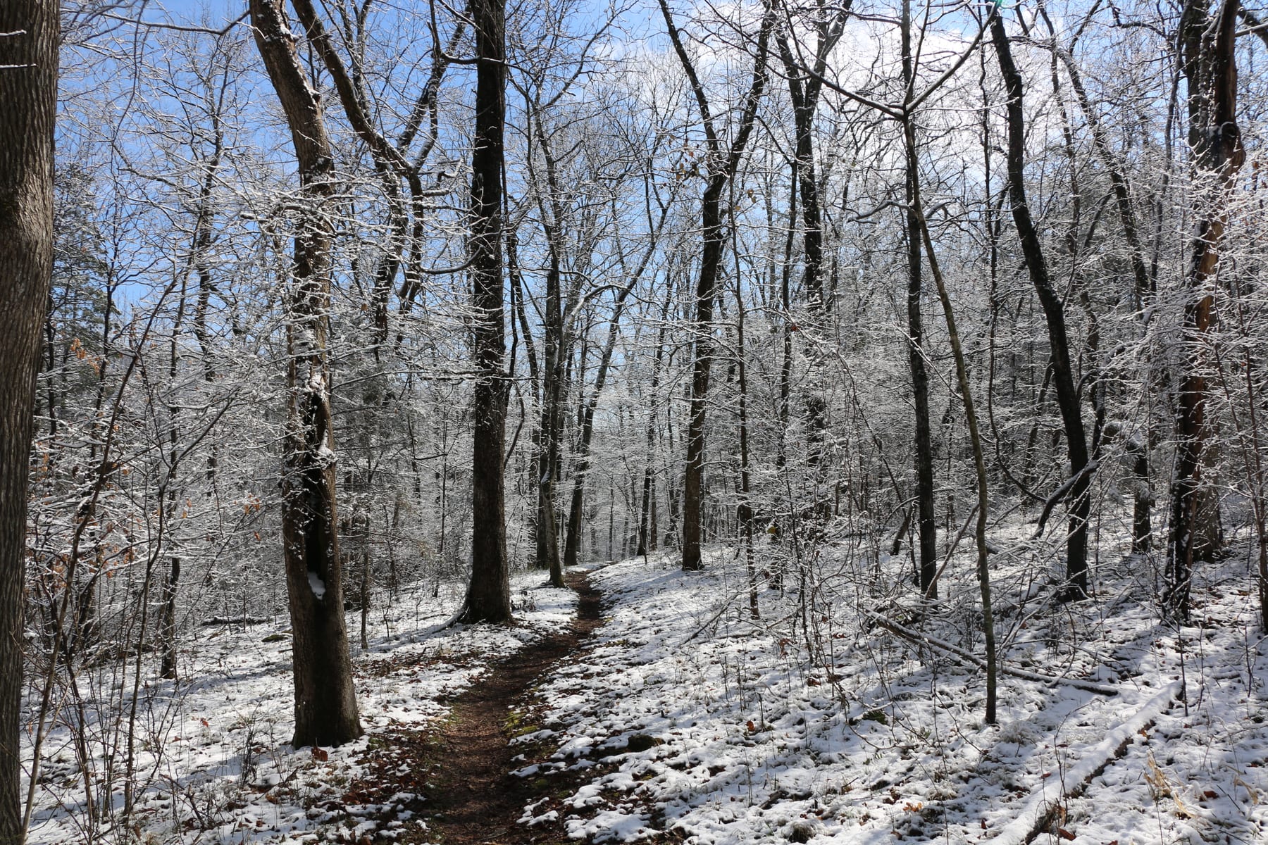
See this route on the water
Photos help show what the access looks like and what the route actually feels like on the water.
Sources
Check the data behind today's call.
Use this section when the page shows stale data, limited confidence, or a call you want to verify before driving.
Why this scoreToday's data confidence is checking
Data confidence mostly comes down to three things: how direct the gauge is, how clear the range is, and how fresh the data is.
- Checking data confidence notes.
- Checking data confidence cautions.
OutlookTomorrow and weekend
This is a cautious early look. If the data is too thin, we leave it out.
Waiting on forecast.
Waiting on forecast.
Data behind the scoreGauge, thresholds, and timing
These are the live readings and threshold notes behind today's score.
| Gauge site | Buffalo River at Pruitt, AR |
| Discharge | Checking |
| Gauge height | Checking |
| 24h trend | Checking |
| 24h change | Checking |
| Current band | Checking |
| Rain last 24h | Checking |
| Rain last 72h | Checking |
| Air temp | Checking |
| Water temp | Checking |
| Wind | Checking |
| Gusts | Checking |
| Rain timing | Checking |
| Ideal range | Needs paddler reports |
| Known low-water floor | 100 cfs |
| High threshold | Not calibrated yet |
| Data confidence behind the range | Official and local sources |
| Gauge observed | Checking |
| Paddle Today updated | Checking |
| Main source behind this score | NPS Buffalo National River Float Guide Pruitt gauge bands |
| Gauge source | Checking |
| Weather source | Checking |
| Rainfall source | Checking |
NotesWhat to know before you go
These notes cover the access details, route quirks, and source caveats most likely to matter once you get there.
- Official route shapeErbie to Ozark, 5.4 to 5.5 miles
NPS publishes the exact Erbie-to-Ozark paddle as a 5.4-mile, 3-4 hour trip, and the NPS access mileage table lists 5.5 river miles between the two access points.
- Direct corridor gaugeUSGS 07055680
USGS Buffalo River at Pruitt is the nearest downstream official Buffalo gauge for this upper corridor. Its legacy current page exposed same-day official data during review, including 148 cfs and 3.82 ft at 2026-07-02 15:15 CDT.
- Low-water floor100 cfs minimum-only
The NPS-linked Buffalo National River Float Guide uses Pruitt bands of Very Low below 100 cfs, Low from 100 to 200 cfs, Moderate from 200 to 1,000 cfs, High from 1,000 to 2,000 cfs, and Flood above 2,000 cfs. Paddle Today uses only the start of Low as a conservative floor.
- Campground-backed endpointsErbie Campground to Ozark Campground
NPS route and campground pages describe both Erbie and Ozark as formal park campgrounds with river access support for float planning.
- Access coordinatesErbie 36.070346, -93.211886; Ozark 36.062132, -93.159724
NPS Getting Around lists Erbie and Ozark coordinate anchors. Use the signed landings and current park access conditions rather than GPS alone.
Verify it yourselfCheck the source links
Use these links to double-check the gauge, route details, and access notes before you head out.
Paddler reports
Recent notes from paddlers
A few quick notes from people who were on this route recently.
Reports
Photos, paddler notes, and updates.
See what others have shared, then add a condition report, upload photos, or flag anything that needs fixing.
Share your trip
Keep exploring
More routes to check next
Compare another stretch on this river, or jump to nearby options before you pick a plan.
Quick answers
Buffalo River paddling FAQ
What water level is good for paddling Buffalo River?
Paddle Today watches Buffalo River at Pruitt, AR and uses 100 cfs as the conservative low-water floor for this route. The ideal range still needs more paddler reports.
Where does this Buffalo River route start and end?
This route starts at Erbie Campground / river access and ends at Ozark Campground / river access, about About 5.4 to 5.5 mi on the water.
Is this Buffalo River route good for beginners?
This is listed as a moderate route. Expect more planning than an easy float, and use the live score, route notes, and source links before committing.
Flag a change
See something outdated?
Access, hazards, wood, and shuttle details change. Send a quick correction if something looks off.