
See all 6 routes on Crooked Creek
Arkansas | Ozark Arkansas
Crooked CreekSnow Access to Mark Oliver Access
Middle Crooked Creek float from Snow to Mark Oliver. AGFC still documents the exact 5.2-mile public segment and uses the same direct Kelly Crossing gauge and 12-12.5 ft moderate guidance, so this route ships as a conservative minimum-only moving-water call.
Checking current river conditions…
Route location
Loading the route snapshot. This usually takes a few seconds.
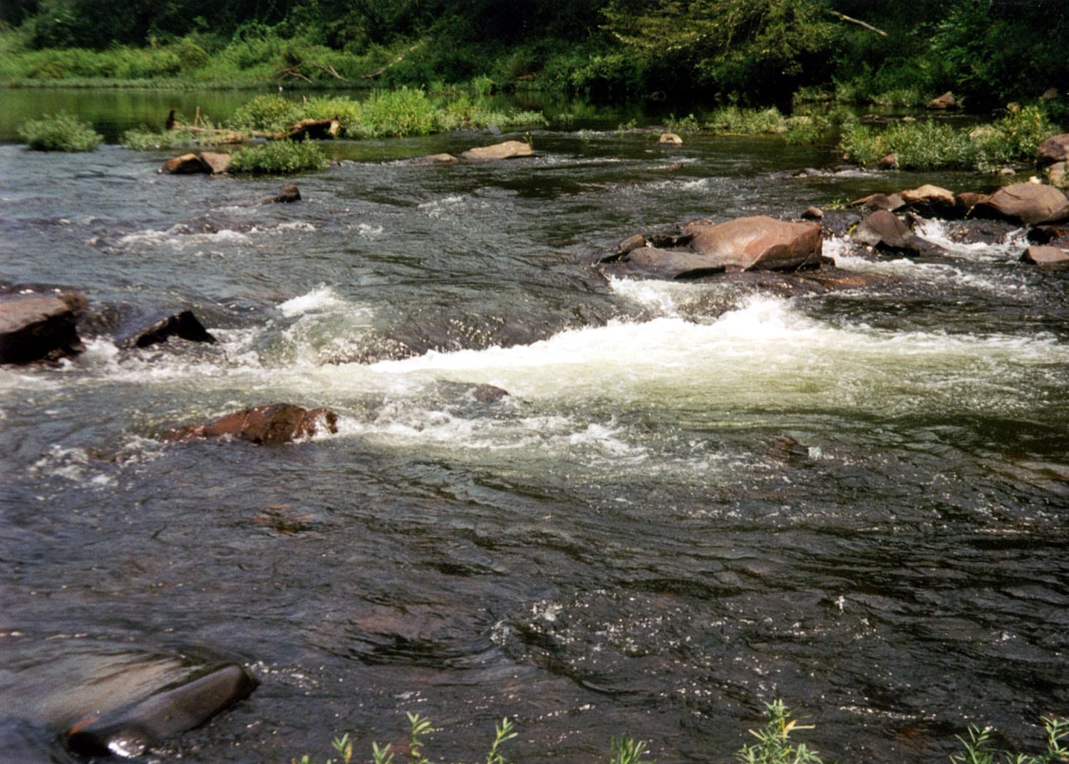

Route overview
Trip details
Access rules, camping and seasonal notes.
Permits, camping and season
Access and shuttle
Launch at Snow Access and take out at Mark Oliver Access for the middle official Crooked Creek segment. This is a rain-sensitive Ozark creek float keyed to the Kelly Crossing gauge rather than to a broad flatwater assumption.
Access map
Put-in
Snow AccessSnow and Mark Oliver are named public AGFC Crooked Creek Water Trail accesses with simple rural launches rather than full-service park ramps.
Take-out
Mark Oliver AccessBelow about 12 ft at Kelly Crossing, expect more dragging and slower riffles. Crooked Creek can rise quickly after storms; check the live stage and trend before launch.
Road shuttle
Stage the take-out at Mark Oliver Access, then drive back to Snow Access. This is the shortest Crooked Creek day that still keeps the named Snow camps and Brooksher preserve support in play.
Additional access notes
- Stay with the named public access points and avoid private banks, fences, signs, and purple-painted property along the creek.
More route and safety guidance
- Almost all property along the creek is private; use only the named public access points and camp only where AGFC explicitly allows it.
- Shoals, riffles, fresh wood, and muddy or gravelly exits become more consequential when the creek is below the moderate band or rising fast.
Plan this paddle
Choose your trip times
No account needed. Check the selected access points above, then choose both dates and times. For an overnight paddle, set take-out to the following date.
Times use the selected time zone. Check it against the river’s location before saving or sharing.
Browser plans stay on this device. Sharing opens your device’s share tools or gives you text to copy.
Download GPX Route geometry only; no schedule required.
Conditions
Check how the river is changing and what weather to expect.
Recent trend
Checking preferred range.
Checking trend.
Gauge source
--Checking timestampDetailed weather
Weather
Hourly forecast
Checking weather.
Loading today's forecast.
Next 8 hours
Short-route forecast
Checking the next several hours.
Plan ahead
Tomorrow and the weekend
Forecasts can change. Check current conditions again before leaving.
Waiting on forecast.
Waiting on forecast.
Station details and river cameras
Station observations
USGS measurements
Measurement notes and coverage
These are observations at the station. Water depth and current can differ along your trip.
River camera · USGS
View at the gauge
Crooked Creek at Kelly Crossing at Yellville, AR. This view may be outside your paddling reach. Images are periodic and do not establish safe conditions.
Photos and recent reports
Look for recent access, obstruction and hazard observations. Context photos may show a different part of the river.
Paddler reports
Recent notes from paddlers
A few quick notes from people who were on this route recently.
Share a recent access update, hazard observation or photo.
Sources and methodology
Review source dates and published guidance below. We have not inspected this trip in person.
Why this scoreData reliability: checking
This rating reflects whether the gauge measures this part of the river, whether published water-level guidance is available, and how recently the data was updated.
- Checking data sources and update times.
- Checking evidence cautions.
Data behind the scoreWater levels, published guidance and update times
These readings and published water-level limits help explain today’s score.
| Gauge site | Crooked Creek at Kelly Crossing at Yellville, AR |
| Gauge height | Checking |
| Discharge | Checking |
| 24h trend | Checking |
| 24h change | Checking |
| Current band | Checking |
| Rain last 24h | Checking |
| Rain last 72h | Checking |
| Air temp | Checking |
| Water temp | Checking |
| Wind | Checking |
| Gusts | Checking |
| Rain timing | Checking |
| Preferred range | Needs paddler reports |
| Known low-water floor | 12.00 ft |
| High threshold | Water-level guidance unavailable |
| Evidence strength behind the range | Official data source |
| Gauge observed | Checking |
| Paddle Today updated | Checking |
| Main source behind this score | Arkansas Game and Fish Crooked Creek moderate-level guidance |
| Gauge source | Checking |
| Weather source | Checking |
| Rainfall source | Checking |
NotesPublished evidence and verification notes
These notes cover the access details, route quirks, and source caveats most likely to matter once you get there.
- Official route segmentSnow Access to Mark Oliver Access, 5.2 miles
AGFC lists Snow-to-Mark Oliver as an exact Crooked Creek Water Trail segment.
- Gauge check during route review · 2026-07-11USGS 07055607 at 217 cfs / 10.84 ft
This reading was saved when we checked the guide. It is not today’s water level. Check the current gauge and local conditions before paddling.
- Level guidance12-12.5 ft moderate floating band
AGFC says a moderate level for floating Crooked Creek is 12-12.5 ft at the Kelly Crossing gauge. Paddle Today treats 12 ft as the conservative minimum-only floor because AGFC does not publish a complete high-water ladder for this route family.
- Put-in accessSnow Access, 36.24352, -92.79995
AGFC publishes Snow Access as a named public Crooked Creek Water Trail access with a Google Maps coordinate link and primitive campsites.
- Take-out accessMark Oliver Access, 36.24973, -92.7486
AGFC publishes Mark Oliver Access as a named public Crooked Creek Water Trail access with a Google Maps coordinate link.
- Camping supportSnow Access and Brooksher camping support
AGFC says primitive campsites are available at Snow Access and at Brooksher Crooked Creek Preserve, which has no road access.
Verify it yourselfCheck the source links
Use these links to double-check the gauge, route details, and access notes before you head out.
Other routes nearby
More on Crooked Creek
All 6Nearby routes within 75 miles
Flag a change
See something outdated?
Access, hazards, wood, and shuttle details change. Send a quick correction if something looks off.