Pick the trip type
Start with a long day, camping route, beginner paddle, or near-metro option.

Minnesota paddling guide
Weekend routes, long day trips, canoe-camping ideas, and beginner-friendly paddles with live Paddle Today status where we track the route.
Loading live Paddle Today scores for tracked routes...
How to use this guide
6 guide entries currently map to Paddle Today routes with live scores, water-level context, weather, and access notes.
Start with a long day, camping route, beginner paddle, or near-metro option.
Tracked routes show the live score, gauge read, and route link before you commit.
Use route pages and source links for access, permits, camping, and changing conditions.
Minnesota guide
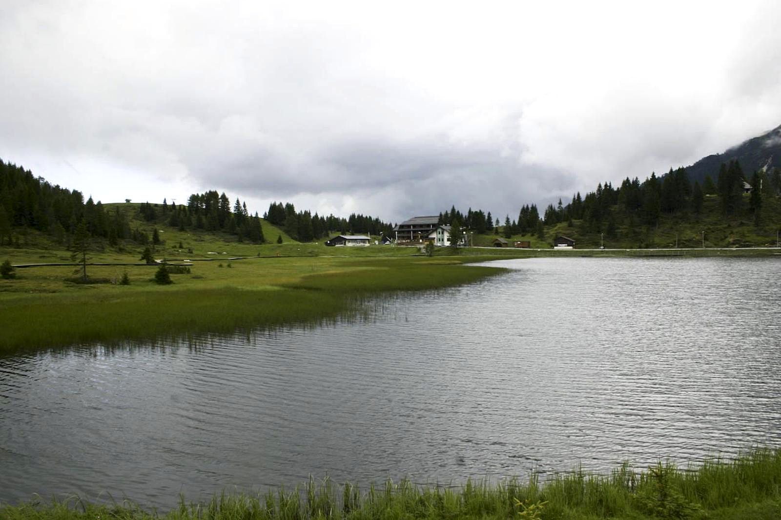 Photo unavailable
St. Croix River
Osceola Landing to William O'Brien State Park
A classic lower St. Croix weekend paddle with National Scenic Riverway scenery and a conditional state-park finish: the main William O’Brien ramp is closed, so confirm the provisional downstream shoreline hand-carry before launching.
Paddle Today status
Not tracked yet. Use the source link and request this route if you want live scoring added.
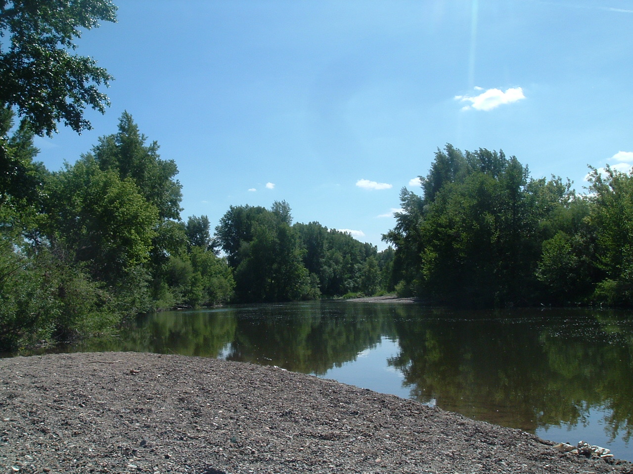 Photo unavailable
St. Croix River
Minnesota Interstate State Park to Osceola Landing
A shorter scenic St. Croix trip with dramatic riverway character, useful for groups that want a memorable route without committing to a full overnight distance.
Paddle Today status
Loading current score and water-level read.
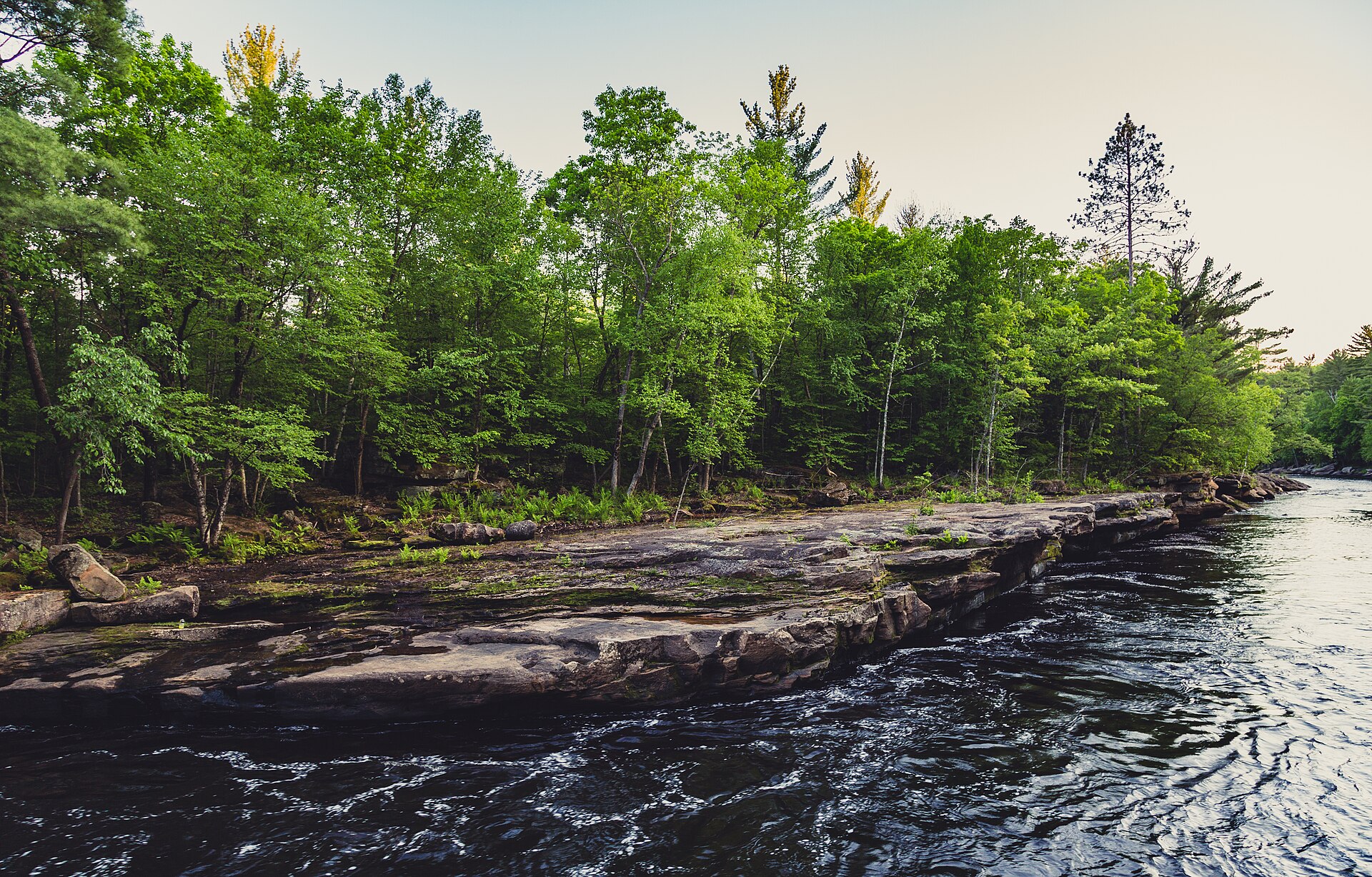 Photo unavailable
Kettle River
#5 trailer access to #6 trailer access
A more adventurous Minnesota weekend choice with rapids that change meaningfully by water level. Best for groups that want moving water and are honest about skill.
Paddle Today status
Loading current score and water-level read.
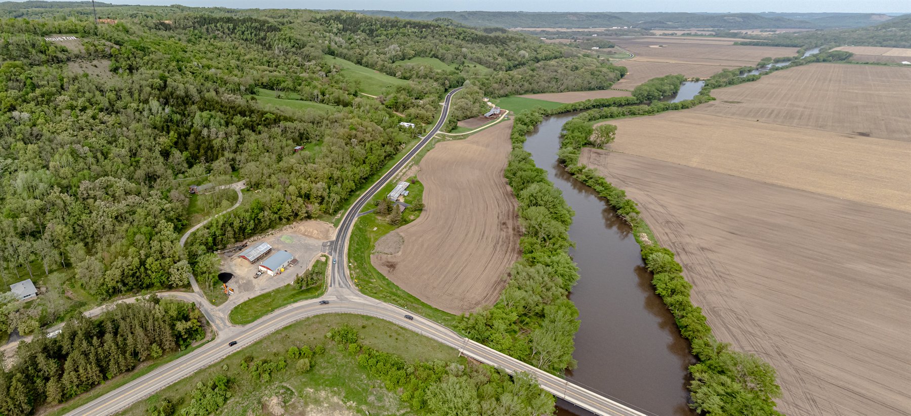 Photo unavailable
Root River
Rushford to Houston
A longer Root River day with trail access and town support, best for groups that want a full scenic paddle rather than a short float.
Paddle Today status
Loading current score and water-level read.
Photo unavailableRum River
Martin's Landing to Rum River North County Park
A manageable Wild and Scenic River day near the metro fringe, with DNR-recommended mileage and a 3.5-5 hour planning window.
Paddle Today status
Loading current score and water-level read.
Photo unavailableNamekagon River
Big Bend Landing to Trego Town Park
Technically in Wisconsin, but it belongs in the same St. Croix Riverway weekend conversation because the National Park Service manages the Namekagon and St. Croix as one paddling riverway.
Paddle Today status
Not tracked yet. Use the source link and request this route if you want live scoring added.
Minnesota guide
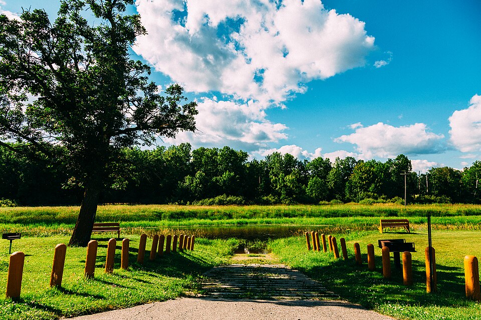 Photo unavailable
Big Fork River
Highway 6 South to Highway 6 North
A remote northern Minnesota route that can work as a long day or a relaxed overnight, with wooded shoreline and a first-come watercraft campsite about halfway.
Paddle Today status
Loading current score and water-level read.
Photo unavailableCrow Wing River
Little White Dog to Cottingham County Park
A friendly canoe-camping style river with clean water, sandy bottom, wooded banks, and campsites that fit families or newer river paddlers.
Paddle Today status
Not tracked yet. Use the source link and request this route if you want live scoring added.
Photo unavailableRoot River
Rushford to Houston
A longer Root River day with trail access and town support, best for groups that want a full scenic paddle rather than a short float.
Paddle Today status
Loading current score and water-level read.
Minnesota guide
Photo unavailableSt. Croix River
Osceola Landing to William O'Brien State Park
A classic lower St. Croix weekend paddle with National Scenic Riverway scenery and a conditional state-park finish: the main William O’Brien ramp is closed, so confirm the provisional downstream shoreline hand-carry before launching.
Paddle Today status
Not tracked yet. Use the source link and request this route if you want live scoring added.
Photo unavailableKettle River
#5 trailer access to #6 trailer access
A more adventurous Minnesota weekend choice with rapids that change meaningfully by water level. Best for groups that want moving water and are honest about skill.
Paddle Today status
Loading current score and water-level read.
Photo unavailableBig Fork River
Highway 6 South to Highway 6 North
A remote northern Minnesota route that can work as a long day or a relaxed overnight, with wooded shoreline and a first-come watercraft campsite about halfway.
Paddle Today status
Loading current score and water-level read.
Photo unavailableCrow Wing River
Little White Dog to Cottingham County Park
A friendly canoe-camping style river with clean water, sandy bottom, wooded banks, and campsites that fit families or newer river paddlers.
Paddle Today status
Not tracked yet. Use the source link and request this route if you want live scoring added.
Photo unavailableCrow Wing River
Stigman's Mound to Little White Dog carry-in access
A good upstream Crow Wing option when you want the same easygoing canoe-camping feel with shorter mileage and room to build a multi-section plan.
Paddle Today status
Loading current score and water-level read.
Photo unavailableNamekagon River
Big Bend Landing to Trego Town Park
Technically in Wisconsin, but it belongs in the same St. Croix Riverway weekend conversation because the National Park Service manages the Namekagon and St. Croix as one paddling riverway.
Paddle Today status
Not tracked yet. Use the source link and request this route if you want live scoring added.
Minnesota guide
Photo unavailableSt. Croix River
Minnesota Interstate State Park to Osceola Landing
A shorter scenic St. Croix trip with dramatic riverway character, useful for groups that want a memorable route without committing to a full overnight distance.
Paddle Today status
Loading current score and water-level read.
Photo unavailableCrow Wing River
Little White Dog to Cottingham County Park
A friendly canoe-camping style river with clean water, sandy bottom, wooded banks, and campsites that fit families or newer river paddlers.
Paddle Today status
Not tracked yet. Use the source link and request this route if you want live scoring added.
Photo unavailableCrow Wing River
Stigman's Mound to Little White Dog carry-in access
A good upstream Crow Wing option when you want the same easygoing canoe-camping feel with shorter mileage and room to build a multi-section plan.
Paddle Today status
Loading current score and water-level read.
Photo unavailableRum River
Martin's Landing to Rum River North County Park
A manageable Wild and Scenic River day near the metro fringe, with DNR-recommended mileage and a 3.5-5 hour planning window.
Paddle Today status
Loading current score and water-level read.
Minnesota guide
Photo unavailableSt. Croix River
Osceola Landing to William O'Brien State Park
A classic lower St. Croix weekend paddle with National Scenic Riverway scenery and a conditional state-park finish: the main William O’Brien ramp is closed, so confirm the provisional downstream shoreline hand-carry before launching.
Paddle Today status
Not tracked yet. Use the source link and request this route if you want live scoring added.
Photo unavailableSt. Croix River
Minnesota Interstate State Park to Osceola Landing
A shorter scenic St. Croix trip with dramatic riverway character, useful for groups that want a memorable route without committing to a full overnight distance.
Paddle Today status
Loading current score and water-level read.
Photo unavailableRum River
Martin's Landing to Rum River North County Park
A manageable Wild and Scenic River day near the metro fringe, with DNR-recommended mileage and a 3.5-5 hour planning window.
Paddle Today status
Loading current score and water-level read.
Minnesota guide
Photo unavailableKettle River
#5 trailer access to #6 trailer access
A more adventurous Minnesota weekend choice with rapids that change meaningfully by water level. Best for groups that want moving water and are honest about skill.
Paddle Today status
Loading current score and water-level read.
Photo unavailableBig Fork River
Highway 6 South to Highway 6 North
A remote northern Minnesota route that can work as a long day or a relaxed overnight, with wooded shoreline and a first-come watercraft campsite about halfway.
Paddle Today status
Loading current score and water-level read.
Photo unavailableNamekagon River
Big Bend Landing to Trego Town Park
Technically in Wisconsin, but it belongs in the same St. Croix Riverway weekend conversation because the National Park Service manages the Namekagon and St. Croix as one paddling riverway.
Paddle Today status
Not tracked yet. Use the source link and request this route if you want live scoring added.
Want the full live directory instead of curated ideas?
Open Minnesota state routesExplore all routesQuick answers
This guide combines official water-trail sources with Paddle Today route coverage. Entries favor routes with useful weekend planning value, strong scenery or camping potential, clear access, and enough route detail to plan responsibly.
No. This is an evergreen guide, not a live-only ranking. Where Paddle Today tracks a route, the page shows the current score so you can separate a great route idea from a good route today.
Search
Try Snake, Root, Faribault, or Pine City.