
River guideMassachusetts
Housatonic River
Plan the Berkshire Housatonic by reach: the upper mainstem and Woods Pond portage, separate trips above and below Glendale Dam, and the Great Barrington–Sheffield access chain. Gauge context, skill, and launch access change by section, so compare the selected trip’s details before planning a shuttle.
Compare trips
Choose a route
Start with distance, then compare current scores where available.
Showing all 15 trips.
Clear a filter to see more of this river.
Loading trip map.
End of mapHousatonic Valley Association guide and public access
Berkshire Housatonic sections by reach
The HVA Berkshire guide describes separate navigable sections, not one uniform river trip. The upper mainstem includes the Woods Pond Dam portage and a technical reach below it. The two Stockbridge trips stop on opposite sides of Glendale Dam and require a land portage to connect. Farther south, the former Bridge Street/Searles take-out is closed; these options use the documented Brookside and Covered Bridge accesses instead. Six longer trips are also available in the trip chooser. Every trip opens its own page with maps, access notes and planning tools.
Upper mainstem: Fred Garner Park through Lee Athletic Field
- Fred Garner Park to Decker Landing — About 6 river miles
- Decker Landing to Woods Pond Bridge — About 4.6 river miles
- Woods Pond Bridge to Lee Athletic Field — About 4.3 river miles
Stockbridge: separate reaches at Glendale Dam
- Park Street Canoe Access to Glendale Dam take-out — About 5 river miles
- Glendale Dam portage put-in to Rising Pond take-out — About 3.8 river miles
Great Barrington and Sheffield: open public access chain
- Division Street to Brookside Road canoe access — About 6.2 river miles
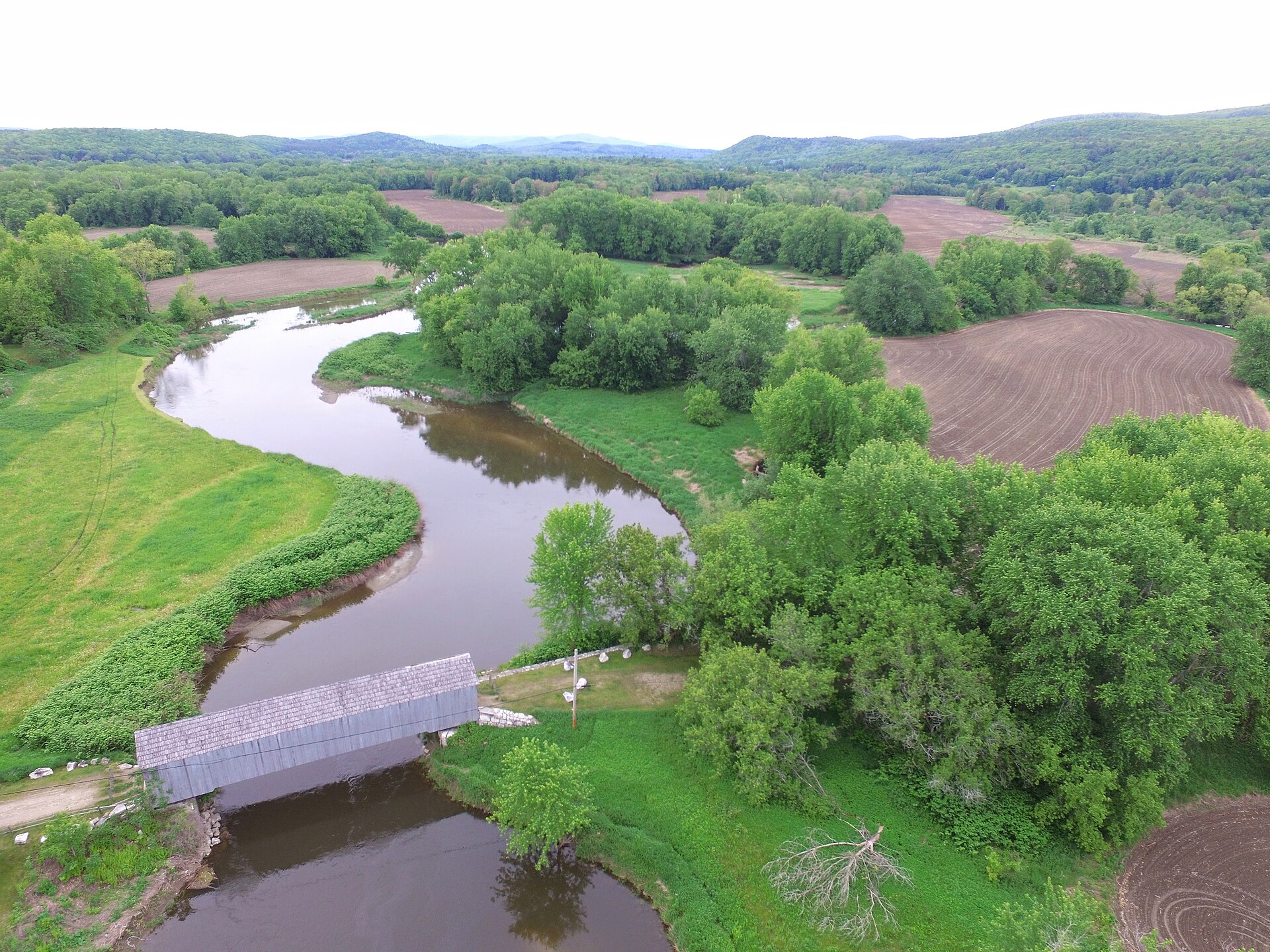
- Brookside Road canoe access to Sheffield Covered Bridge — About 4.8 river miles
- Sheffield Covered Bridge to Rannapo Road — About 9.5 river miles
- East Sheffield Road to Sheffield Covered Bridge — About 3.9 river miles
Read the HVA Berkshire County paddling guide and the Town’s current bridge and access updates before travel. The Massachusetts Housatonic restoration page and fish and waterfowl advisory explain the reach-specific water-quality precautions.
River overview
Housatonic River paddle planning
What to verify before you commit.
Water levels
These Housatonic River routes use 3 gauge references depending on the stretch.
Route options
Compare all 15 Berkshire Housatonic trip choices here. Open any trip’s page for its access, mileage, gauge, portage, and safety details.
Difficulty
Housatonic River routes here are marked easy and hard and moderate, so choose the stretch that fits your group and conditions.
Quick answers
Housatonic River paddling FAQ
Where can I paddle the Housatonic River?
The Berkshire guide covers distinct upper, Stockbridge, and Great Barrington–Sheffield reaches. Compare the named public-access sections, then use the trip picker for six longer trip options that remain available with their own mileage, gauge, dam, and access notes.
How should I check Housatonic River water levels?
Use the gauge attached to the selected trip: Lenoxdale for the upper chain, Great Barrington near Division Street for the Stockbridge and Great Barrington starts, and Ashley Falls for the downstream Sheffield reaches. HVA’s broad 150 cfs minimum is a low-water planning cue, not a safe-flow guarantee; dams, intervening tributaries, water quality, and local conditions still matter.
Which Housatonic River route is best today?
Choose a reach by its own access and difficulty. The upper technical section starts with the mandatory Woods Pond Dam portage; the two Glendale reaches are separated by a separate land portage; the lower picker options have different launch grades, parking, and shuttle lengths. Use the trip details before selecting a route.