
River guideNebraska
Loup River
Compare trips by distance, difficulty and current conditions. Open a trip for its map, directions and planning tools.

Compare trips
Choose a route
Start with distance, then compare current scores where available.
Showing all 4 trips.
Clear a filter to see more of this river.
Loading trip map.
End of mapRiver overview
Loup River paddle planning
What to verify before you commit.
Water levels
These Loup River routes use Loup River near Genoa, Nebr. as the main gauge reference.
Route options
Compare 4 routes (1 scored · 3 planning) across Central Nebraska. Open a route page for put-in, take-out, distance, data reliability, and access notes.
Difficulty
Loup River routes here are marked easy and moderate, so choose the stretch that fits your group and conditions.
Nebraska · Loup River Water Trail
Choose a documented section and check the river boundary
The water trail follows four access points: George D. Syas WMA, Monroe, Pawnee Park in Columbus, and the ADM outlet near the Loup–Platte confluence. The selector includes four currently supported public trips.
Longer trips starting at George D. Syas WMA remain off the selector until their full route geometry is verified. The 8-mile Syas-to-Monroe section is the only currently supported public trip from that launch.
George D. Syas WMA to Monroe · about 8 miles
This is the upper documented section and the only option with a documented 350 cfs minimum-only field-test cue. The existing WMA fishing access is used as the start; check the approach and current flow before launching.
Open the upper section guideMonroe to Columbus · 16 miles
The official guide describes a six-to-eight-hour float. Monroe has county-provided parking; the Columbus landing uses the Pawnee Park Trail, with parking at a hotel about 250 yards away. Confirm current owner permission and construction detours. This longer section is planning-only because the upper section’s 350 cfs test does not set its flow threshold.
Open the main water-trail sectionColumbus to the ADM outlet · about 4.5 miles
The ADM access sits on the Platte River about a mile below the Loup mouth. This option crosses a river and gauge boundary; USGS 06793000 near Genoa cannot describe the whole trip, so it is planning-only.
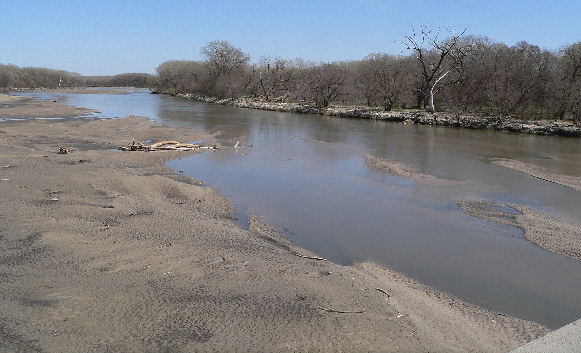
Review the Platte outlet tripThe 350 cfs test reported by Nebraska Game and Parks applies to the Syas WMA–Monroe section. It does not provide a threshold for the lower Loup or the ADM extension. Use USGS 06793000 near Genoa as Loup context, not as an all-route recommendation. The trail guide warns about shallow, shifting sand channels and says the banks and stream bed are private; get permission before stopping except in an emergency.
Read the Nebraska Game and Parks Loup River Water Trail guide and its route and access history. Check current Columbus trail notices and the ADM access lease announcement before setting the shuttle.
Quick answers
Loup River paddling FAQ
Where can I paddle the Loup River?
Start with the documented 8-mile George D. Syas WMA–Monroe section or the 16-mile Monroe–Columbus section. The selector also includes the 4.5-mile Columbus-to-ADM outlet and the Monroe-to-ADM composite. Longer trips starting at Syas remain off the list until their full route geometry is verified.
How should I check Loup River water levels?
USGS 06793000 near Genoa provides live Loup River context. Nebraska Game and Parks’ 350 cfs field test supports a minimum-only cue for the upper Syas–Monroe section; it is not a threshold for the whole trail. ADM options continue onto the Platte and are planning-only.
Which Loup River route is best today?
Compare current scores where available, along with water level, recent trend, weather, access, and route difficulty. Planning-only cards provide trip information without a live paddling recommendation.