
River guideNew Mexico
San Juan River
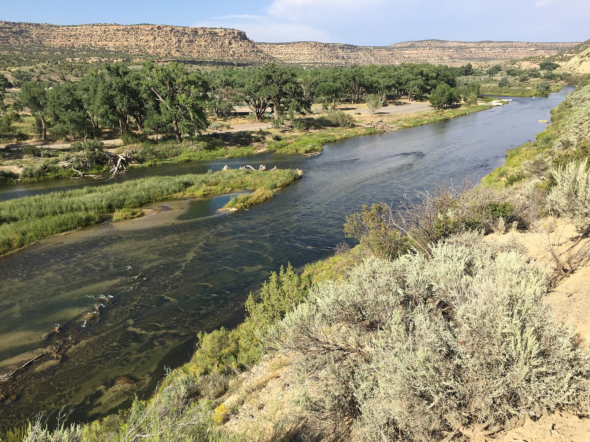
Follow the San Juan from Navajo Dam through Blanco and Vereda del Rio to Farmington and Kirtland. Begin with a named section, then compare longer choices with intermediate access, separate gauges, release changes, and diversion hazards.
Compare trips
Choose a route
Start with distance, then compare current scores where available.
Showing all 11 trips.
Clear a filter to see more of this river.
Loading trip map.
End of mapNamed access and river sections
San Juan River sections by stretch
Start with these five access-to-access sections. The upper Navajo Dam tailwater and the lower Farmington corridor use separate direct gauges, and the lower river adds diversion dams and submerged-fence hazards. Farmington’s map marks Among the Waters as walk-in access and Lions Park as the end of navigable city segments; it also cautions that difficulty changes with water level and other hazards may exist. Six longer trip options remain available in the trip picker with their own mileage, intermediate access, gauge, and safety notes.
Upper regulated tailwater · Navajo Dam to Vereda del Rio
- Navajo Dam public launch to Blanco public access — About 17.5 river miles
- Blanco public access to Vereda del Rio public launch — About 11.9 river miles
Lower valley · Vereda del Rio to Among the Waters
- Vereda del Rio public launch to Among the Waters Park public access — About 16.9 river miles
Farmington to Kirtland · city access chain
- Among the Waters Park public access to Westland Park public river access — About 2.24 river miles
- Westland Park public river access to Kirtland Lions Park public river access — About 5.5 river miles
Check the City of Farmington river access and hazard map, the San Juan access guide, USGS 09355500 near Archuleta and USGS 09365000 at Farmington. Navajo Dam releases can change; review the Bureau of Reclamation’s current release notices before an upper-river trip.
River overview
San Juan River paddle planning
What to verify before you commit.
Water levels
These San Juan River routes use 2 gauge references depending on the stretch.
Route options
Compare all 11 San Juan trip choices here. Open any trip’s page for its endpoints, mileage, intermediate access, gauge references, and hazards.
Difficulty
San Juan River routes here are marked easy and moderate, so choose the stretch that fits your group and conditions.
Quick answers
San Juan River paddling FAQ
Where can I paddle the San Juan River?
Start with the five named access sections from Navajo Dam through Blanco and Vereda del Rio to Farmington and Kirtland. The trip picker keeps six longer trip options available with their own route notes. The upper tailwater, lower diversion corridor, and city access chain need different gauge and access checks.
How should I check San Juan River water levels?
Use the gauge attached to the exact trip: USGS 09355500 near Archuleta for the upper reaches and USGS 09365000 at Farmington for the lower corridor. Southwest Paddler’s 300 cfs minimum and 500 cfs target are community planning cues, not safety limits. Reclamation’s 500–1,000 cfs base-flow target is a weekly habitat objective downstream toward Lake Powell, not paddling guidance. Check current gauge trends, Navajo Dam notices, weather, and local hazards.
Which San Juan River route is best today?
Choose one access section at a time when starting out. The upper Navajo Dam tailwater differs from the lower river’s diversion and fence hazards, and the Farmington city segments have posted public access rules. The longer trips remain in the picker with intermediate access notes; check the exact route and gauge before setting a shuttle.