
Minnesota | Grand Marais
Brule RiverSauna Bath Rapid to Highway 61
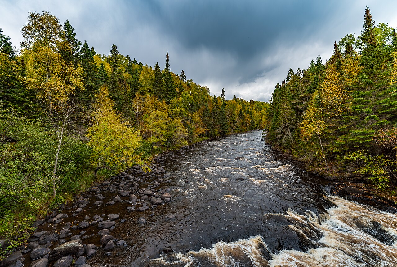
Extreme lower Brule expedition through the Judge C. R. Magney corridor, with linked Class IV-V rapids, multiple waterfalls, eddyless portage approaches, Devil's Kettle, and a Highway 61 finish.
Checking current river conditions…
Route location
Loading the route map.

Route overview
Trip details
Access rules, camping and seasonal notes.
Permits, camping and season
Access and shuttle
Conditional lower-Brule expedition from the remote Sauna Bath corridor through multiple falls and mandatory carries to the official Highway 61 park corridor.
Access map
Put-in
Sauna Bath Rapid upper corridorSauna Bath is not a developed public launch and may not be practical as a standalone put-in. Confirm a legal land approach and safe bank entry; otherwise use this card only as planning context for a permitted linked expedition.
Take-out
Judge C. R. Magney State Park / Highway 61 Brule River corridorThe Highway 61 end has official state-park parking and trails, but the exact whitewater take-out and carry from river to vehicle must be inspected under current conditions.
Road shuttle
Stage the Highway 61 finish at Judge C. R. Magney State Park, then use only a separately verified legal approach to Sauna Bath. Pre-walk the waterfall exits and portage corridors from the park and trail system before committing.
Choose a shorter tripOptional
Access planner
Choose your launch and take-out
This changes launch and take-out logistics, not today's river score.
Sauna Bath Rapid upper corridor to Judge C. R. Magney State Park / Highway 61 Brule River corridor is about 5.8 mi. Use the planner to compare shorter access pairs.
Additional access notes
- DNR 01022001 is direct at the finish, but American Whitewater's 500 cfs figure is upper-river minimum guidance and provides no safe upper limit for this waterfall corridor.
More route and safety guidance
- Never enter eddyless water above an unverified waterfall or portage. Sauna Bath, Canyon Falls, Devil's Kettle, Upper Falls, and any blind horizon require conservative shore-based inspection and carrying when uncertain.
- The 500 cfs figure is minimum guidance for the upper river, not a lower-route safety band. Cancel on a rising hydrograph, unsafe trail or stair conditions, blocked exits, floodwater, or any level the team cannot confidently rescue in.
Plan this paddle
Choose your trip times
No account needed. Check the selected access points above, then choose both dates and times. For an overnight paddle, set take-out to the following date.
Times use the selected time zone. Check it against the river’s location before saving or sharing.
Browser plans stay on this device. Sharing opens your device’s share tools or gives you text to copy.
Download GPX Route geometry only; no schedule required.
Conditions
Check the forecast and local water levels before launching.
Recent trend
Checking preferred range.
Checking trend.
Gauge source
--Checking timestampundefined provides a current paddling-level interpretation; Paddle Today does not turn the source hydrograph image into trend samples.
Detailed weather
Weather
Hourly forecast
Checking weather.
Loading today's forecast.
Next 8 hours
Short-route forecast
Checking the next several hours.
Plan ahead
Tomorrow and the weekend
Forecasts can change. Check current conditions again before leaving.
Waiting on forecast.
Waiting on forecast.
Photos and recent reports
Look for recent access, obstruction and hazard observations. Context photos may show a different part of the river.
Paddler reports
Recent notes from paddlers
A few quick notes from people who were on this route recently.
Share a recent access update, hazard observation or photo.
Sources and methodology
Review source dates and published guidance below. We have not inspected this trip in person.
NotesPublished evidence and verification notes
These notes cover the access details, route quirks, and source caveats most likely to matter once you get there.
- Reach and difficulty5.8 miles; Class II-IV+(V)
American Whitewater maps the Sauna Bath start, lower waterfall and rapid sequence, Devil's Kettle, and Highway 61 finish while warning about eddyless portage approaches.
- Direct telemetryDNR 01022001 at Highway 61
The Minnesota DNR cooperative station is at the downstream end of this reach and reports live discharge.
- Official park corridorJudge C. R. Magney State Park
Minnesota DNR documents Highway 61 parking, the Brule River trail system, Upper Falls, Devil's Kettle, and steep trail and stair conditions.
- Gauge check during route review · 2026-08-0159.5 cfs at 2026-08-01 09:45 CDT
This reading was saved when we checked the guide. It is not today’s water level. Check the current gauge and local conditions before paddling.
Verify it yourselfCheck the source links
Use these links to double-check the gauge, route details, and access notes before you head out.
Other routes nearby
Nearby routes within 75 miles
Flag a change
See something outdated?
Access, hazards, wood, and shuttle details change. Send a quick correction if something looks off.