
Ohio | Southwest Ohio
Great Miami River
Heritage Park to Obergiesing Soccer Complex at Dravo Park
Check current paddling conditions for this Great Miami River route, including water level, recent gauge trend, weather, and route details.
Route location
Loading the route snapshot. This usually takes a few seconds.
Need to know
Why this call

Conditions
Gauge history and hourly forecast
The top card is the quick read. This lower section keeps the longer gauge trend, gauge context, and hourly forecast together.
Gauge detail
Gauge history & hourly forecastDetailed view
Gauge
Recent trend
Checking preferred range.
Checking trend.
Gauge source
--Checking timestampMN DNR provides the current paddling level here, but not chart-ready recent samples.
Weather
Hourly forecast
Checking weather.
Loading today's forecast.
Next 8 hours
Short-route forecast
Checking the next several hours.
Route overview
Quick facts and what's next
Distance, difficulty, shuttle basics, and the near-term outlook before you commit to the drive.
Quick facts
Plan ahead
Upcoming outlook
These are early planning reads. Re-check live conditions before you commit to the drive.
Waiting on forecast.
Waiting on forecast.
Plan
Plan your trip
Launch points, shuttle details, distance, and access notes.
Route logistics
Access and shuttle
Launch from the Heritage Park canoe ramp and take out at the Dravo Park canoe ramp. American Whitewater documents the Heritage/Blue Rock to Dravo reach as a dependable Cincinnati-area training run with Class I-II features and serious wood/strainer caveats.
Prepare this trip
Take the plan with you
Download the canonical route, add a calendar hold, or send a simple float plan to your group.
Put-in
Heritage Park canoe rampThe official sources found in this pass confirm named canoe ramps and addresses, but not ramp-level GIS coordinates; verify exact ramp locations on arrival.
Take-out
Obergiesing Soccer Complex at Dravo Park canoe rampBlue Rock Road is a common alternate whitewater put-in that skips the first couple miles, but parking and access should be independently confirmed before using it instead of Heritage Park.
Plan this segment
Access caveats and watch for
Access caveats
- The official sources found in this pass confirm named canoe ramps and addresses, but not ramp-level GIS coordinates; verify exact ramp locations on arrival.
- Blue Rock Road is a common alternate whitewater put-in that skips the first couple miles, but parking and access should be independently confirmed before using it instead of Heritage Park.
- At low levels the Dravo take-out can require following a maze of water, tree branches, and gravel-island channels to reach the ramp.
Watch for
- Denny's Run strainers, wrapped-boat history, and rescues; scout or avoid if wood is present.
- Pushy current, strong eddylines, wave trains, and whirlpools as flow rises into the 3500-to-5000 cfs range.
- Floating wood and debris around 8000 cfs and after storms; this should be treated as stay-off water.
- This is not a casual recreational-kayak recommendation even when the gauge is in range.
Route gallery
See this route on the water
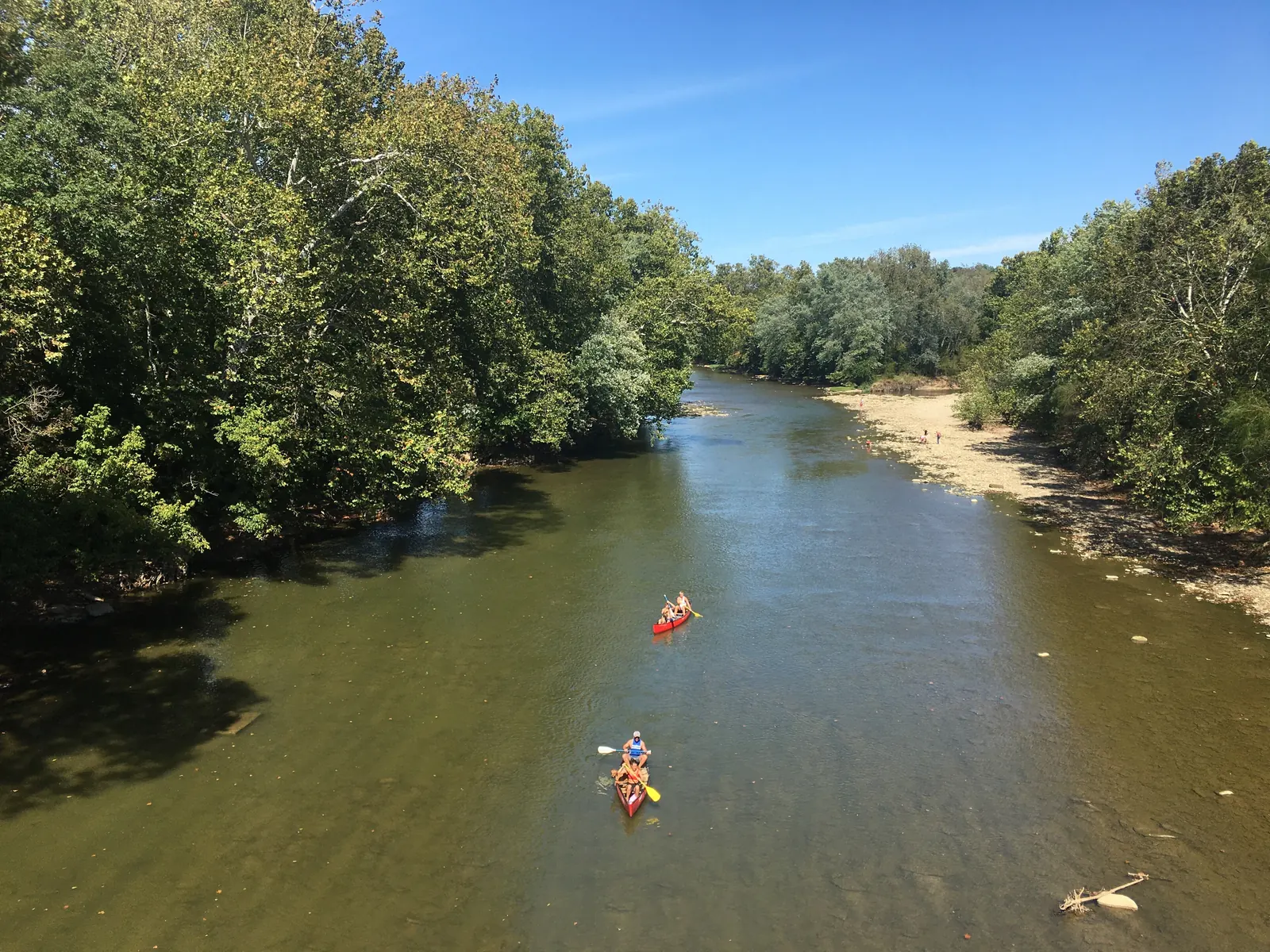
Photos help show what the access looks like and what the route actually feels like on the water.
Score & sources
Why this score
See the gauge, weather, and source notes behind today's call.
Why this scoreToday's evidence strength is checking
Evidence strength mostly comes down to three things: how direct the active gauge is, how clear the range is, and how fresh the data is.
- Checking evidence-strength notes.
- Checking evidence cautions.
Data behind the scoreGauge, thresholds, and timing
These are the live readings and threshold notes behind today's score.
| Gauge site | Great Miami River at Hamilton, OH |
| Discharge | Checking |
| Gauge height | Checking |
| 24h trend | Checking |
| 24h change | Checking |
| Current band | Checking |
| Rain last 24h | Checking |
| Rain last 72h | Checking |
| Air temp | Checking |
| Water temp | Checking |
| Wind | Checking |
| Gusts | Checking |
| Rain timing | Checking |
| Target band | 1,000 cfs to 3,500 cfs |
| Low threshold | 500 cfs |
| High threshold | 8,000 cfs |
| Evidence strength behind the range | Local route guidance |
| Gauge observed | Checking |
| Paddle Today updated | Checking |
| Main source behind this score | American Whitewater Great Miami Heritage to Dravo guidance |
| Gauge source | Checking |
| Weather source | Checking |
| Rainfall source | Checking |
NotesWhat to know before you go
These notes cover the access details, route quirks, and source caveats most likely to matter once you get there.
- Route and gauge6.1 miles, Class I-II, USGS 03274000
American Whitewater lists Heritage Park or Blue Rock Road to Obergiesing Soccer Complex at Dravo Park as a 6.1-mile Class I-II reach and ties it to the Great Miami River at Hamilton gauge.
- Runnable range500 to 5000+ cfs
AW says this section is run at a variety of levels from 500 cfs to 5000+ cfs, while also explaining that the 5000 cfs cutoff is partly because rapids generally flush out.
- Stay-off levelAround 8000 cfs
AW warns that somewhere around 8000 cfs paddlers probably want to stay off the river because of wood and other floating debris.
- Training window support1000 to 3500 cfs guarded app target
AW feature notes identify usable/playable behavior around 1000, 1500, 2000, 2500, 3000, and 3500 cfs. The app target stays below the more pushy 4500-to-5000 cfs bands and above the marginal 500-to-650 cfs reports.
- Direct gauge metadataAW gauge 1529 / USGS 03274000
American Whitewater gauge metadata identifies the Great Miami River at Hamilton gauge as a direct USGS station, USGS 03274000.
- Official ramp pairHeritage Park and Dravo Park canoe ramps
Colerain Township says the upstream canoe ramp is at Heritage Park and the second ramp is just over four nautical miles downstream at Obergiesing Soccer Complex at Dravo Park.
- Take-out supportObergiesing Soccer Complex at Dravo Park canoe ramp
Colerain Township lists Obergiesing Soccer Complex at Dravo Park with a canoe ramp, parking, picnic facilities, and ODNR boating-facility grant context.
- Hazard escalationDenny's Run strainers and non-rec warning
AW describes rescues, wrapped boats, and persistent strainers at Denny's Run; a 2018 trip report explicitly warns the route is not for recreational kayakers.
Verify it yourselfCheck the source links
Use these links to double-check the gauge, route details, and access notes before you head out.
Paddler reports
Recent notes from paddlers
A few quick notes from people who were on this route recently.
Reports
Paddler reports
See recent photos and notes from people on the route.
Share your trip
Keep exploring
More routes to check next
Compare another stretch on this river, or jump to nearby options before you pick a plan.
Quick answers
Great Miami River paddling FAQ
What water level is good for paddling Great Miami River?
Paddle Today watches Great Miami River at Hamilton, OH and treats 1,000 cfs to 3,500 cfs as the target band for this route, with weather and recent trend included in the final score.
Where does this Great Miami River route start and end?
This route starts at Heritage Park canoe ramp and ends at Obergiesing Soccer Complex at Dravo Park canoe ramp, about 6.1 mi by AW route listing; Colerain describes the ramps as just over 4 nautical miles apart on the water.
Is this Great Miami River route good for beginners?
This is listed as a hard route. Treat the live score as a planning aid, then confirm conditions, hazards, access, and group skill before launching.
Flag a change
See something outdated?
Access, hazards, wood, and shuttle details change. Send a quick correction if something looks off.