
See all 15 routes on Jacks Fork River
Missouri | Missouri Ozarks
Jacks Fork River
Bay Creek to Alley Spring
Check current paddling conditions for this Jacks Fork River route, including water level, recent gauge trend, weather, and route details.
Route location
Loading the route snapshot. This usually takes a few seconds.
Need to know
Why this call

Conditions
Gauge history and hourly forecast
The top card is the quick read. This lower section keeps the longer gauge trend, gauge context, and hourly forecast together.
Gauge detail
Gauge history & hourly forecastDetailed view
Gauge
Recent trend
Checking preferred range.
Checking trend.
Gauge source
--Checking timestampMN DNR provides the current paddling level here, but not chart-ready recent samples.
Weather
Hourly forecast
Checking weather.
Loading today's forecast.
Next 8 hours
Short-route forecast
Checking the next several hours.
Route overview
Quick facts and what's next
Distance, difficulty, shuttle basics, and the near-term outlook before you commit to the drive.
Quick facts
Plan ahead
Upcoming outlook
These are early planning reads. Re-check live conditions before you commit to the drive.
Waiting on forecast.
Waiting on forecast.
Plan
Plan your trip
Launch points, shuttle details, distance, and access notes.
Route logistics
Access and shuttle
Launch at Bay Creek and take out at Alley Spring for the NPS-listed upper Jacks Fork day float. Use the Alley Spring USGS gauge as a direct low-water check, but keep the decision conservative because this reach is shallow above the spring and can get pushy after rain.
Prepare this trip
Take the plan with you
Download the canonical route, add a calendar hold, or send a simple float plan to your group.
Put-in
Bay Creek River Access / Backcountry CampgroundBay Creek is a remote NPS backcountry campground/access reached by about two miles of gravel road from Highway 106; low-clearance vehicles and wet roads can complicate the shuttle.
Take-out
Alley Spring River AccessAlley Spring is a busy NPS access area with campground, visitor, swimming, hiking, and paddling traffic; inspect the landing and parking before launching upstream.
Plan this segment
Access caveats and watch for
Access caveats
- Bay Creek is a remote NPS backcountry campground/access reached by about two miles of gravel road from Highway 106; low-clearance vehicles and wet roads can complicate the shuttle.
- Alley Spring is a busy NPS access area with campground, visitor, swimming, hiking, and paddling traffic; inspect the landing and parking before launching upstream.
- Endpoint coordinates are USGS-topo-derived access anchors rather than an NPS ramp-coordinate table. Follow park signs, posted closures, and the current access layout on arrival.
- Only use designated access points and lawful gravel-bar stops. Private lands and scenic-easement boundaries in the Riverways corridor still matter.
Watch for
- Frequent dragging, poling, or lining when the Alley Spring gauge is below the 100 cfs floor.
- Wide, shallow riffles in the few miles above Alley Spring, plus slick shelf rock, gravel bars, and occasional wood.
- High or rising water after storms. MoHERP currently treats high/flood Alley Spring readings as unsuitable for casual or inexperienced trips.
- Cold spring water near the take-out, limited cell service, remote-road shuttle logistics, and busy summer access traffic.
Route gallery
See this route on the water
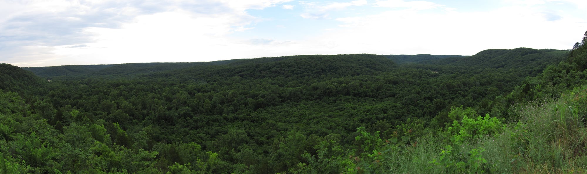
Photos help show what the access looks like and what the route actually feels like on the water.
Score & sources
Why this score
See the gauge, weather, and source notes behind today's call.
Why this scoreToday's evidence strength is checking
Evidence strength mostly comes down to three things: how direct the active gauge is, how clear the range is, and how fresh the data is.
- Checking evidence-strength notes.
- Checking evidence cautions.
Data behind the scoreGauge, thresholds, and timing
These are the live readings and threshold notes behind today's score.
| Gauge site | Jacks Fork at Alley Spring, MO |
| Discharge | Checking |
| Gauge height | Checking |
| 24h trend | Checking |
| 24h change | Checking |
| Current band | Checking |
| Rain last 24h | Checking |
| Rain last 72h | Checking |
| Air temp | Checking |
| Water temp | Checking |
| Wind | Checking |
| Gusts | Checking |
| Rain timing | Checking |
| Ideal range | Needs paddler reports |
| Known low-water floor | 100 cfs |
| High threshold | Not calibrated yet |
| Evidence strength behind the range | Local route guidance |
| Gauge observed | Checking |
| Paddle Today updated | Checking |
| Main source behind this score | Rivers.MOHERP Alley Spring gauge rating and Bay-Creek-to-Alley trip evidence |
| Gauge source | Checking |
| Weather source | Checking |
| Rainfall source | Checking |
NotesWhat to know before you go
These notes cover the access details, route quirks, and source caveats most likely to matter once you get there.
- Official route shapeBay Creek to Alley, 4 hr
NPS lists Bay Creek to Alley as an estimated 4-hour Jacks Fork float and names Bay Creek and Alley Spring among popular Jacks Fork put-in locations.
- Bay Creek accessRiver-edge NPS backcountry campground
Recreation.gov says the Jacks Fork / Middle Current backcountry campgrounds include sites on the river edge with quick water access, lists boating as an available activity, and gives directions to Bay Creek via County Road 106-425.
- Alley Spring accessNPS river access
The NPS park brochure lists Alley Spring in the Jacks Fork river-access inventory with campground, ranger station, picnic area, and hiking-trail context.
- Direct gaugeUSGS 07065495
USGS operates Jacks Fork at Alley Spring, MO. The legacy current-conditions page showed 1,000 cfs and 3.91 ft at 2026-05-31 15:30 CDT during this run.
- Low-water floor100 cfs minimum-only
Rivers.MOHERP rates the Alley Spring gauge Good from 100 to 360 cfs and lists a Bay Creek-to-Alley Spring row at 61 cfs as Low/Poor with nearly every riffle stopping the boats. The app uses only the conservative 100 cfs floor.
- High-water cautionHigh/flood conditions are not casual-trip water
Rivers.MOHERP describes High water as potentially dangerous for young or inexperienced paddlers and Flood water as avoidable for casual trips because obstacles can be treacherous or deadly.
- Coordinate supportBay Creek River Access to Alley Spring River Access
TopoQuest / USGS topo-derived records list Bay Creek River Access at 37.1231, -91.5018 and Alley Spring River Access at 37.1484, -91.4499.
- Seasonal characterWide and shallow above Alley Spring
FloatMissouri / MDC-derived Jacks Fork guidance says loaded-canoe trips above Alley Spring are recommended only in spring or after good summer rains, and that the few miles immediately above Alley Spring can be wide, shallow, and walkable in low water.
Verify it yourselfCheck the source links
Use these links to double-check the gauge, route details, and access notes before you head out.
- NPS Paddle Jacks Fork River
- Recreation.gov Jacks Fork / Middle Current Backcountry Campsites
- NPS Ozark National Scenic Riverways park brochure
- Rivers.MOHERP Jacks Fork Alley Spring gauge
- USGS 07065495 monitoring location
- USGS 07065495 legacy current conditions
- TopoQuest Alley Spring area features
- FloatMissouri Jacks Fork River guide
Paddler reports
Recent notes from paddlers
A few quick notes from people who were on this route recently.
Reports
Paddler reports
See recent photos and notes from people on the route.
Share your trip
Keep exploring
More routes to check next
Compare another stretch on this river, or jump to nearby options before you pick a plan.
More in Missouri
All 76 routesMore on Jacks Fork River
All 15Nearby routes by distance
Quick answers
Jacks Fork River paddling FAQ
What water level is good for paddling Jacks Fork River?
Paddle Today watches Jacks Fork at Alley Spring, MO and uses 100 cfs as the conservative low-water floor for this route. The ideal range still needs more paddler reports.
Where does this Jacks Fork River route start and end?
This route starts at Bay Creek River Access / Backcountry Campground and ends at Alley Spring River Access, about About 5.8 mi on the water.
Is this Jacks Fork River route good for beginners?
This is listed as a moderate route. Expect more planning than an easy float, and use the live score, route notes, and source links before committing.
Flag a change
See something outdated?
Access, hazards, wood, and shuttle details change. Send a quick correction if something looks off.