
See all 19 routes on Minnesota River
Minnesota | Lower Minnesota Valley
Minnesota RiverBelle Plaine to Thompson Ferry
Compact lower Minnesota River continuation from Belle Plaine to Thompson Ferry. It keeps the same official Jordan-gauge ladder as the neighboring lower-corridor routes while trimming the commitment down to a half-day to moderate full-day shuttle.
Checking current river conditions…
Route location
Loading the route map.
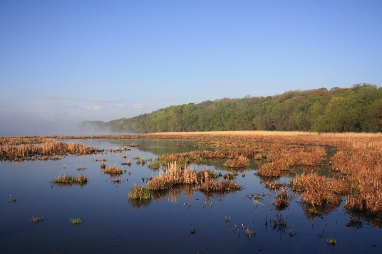

Route overview
Trip details
Access rules, camping and seasonal notes.
Permits, camping and season
Access and shuttle
Put in at Belle Plaine and finish at Thompson Ferry for a shorter lower Minnesota continuation. It uses the same official Jordan ladder as the adjacent downstream route.
Access map
Put-in
Belle Plaine public water accessBelle Plaine is a proper trailer access at County Road 25, but same-day ramp and parking conditions should still be checked before launch.
Take-out
Thompson Ferry trailer accessThompson Ferry is an official public-water-access site near the Jordan gauge, but riverbank mud and flood debris can still vary after high water.
Road shuttle
Moderate lower Minnesota River car shuttle between Belle Plaine and Thompson Ferry. Stage the take-out first so wind or slower current does not complicate pickup.
More route and safety guidance
- Open bends and changing sandbars require weather, trend, and wind checks even on this shorter segment.
- Use only the named Belle Plaine and Thompson Ferry public accesses and keep private shoreland off the route plan.
Plan this paddle
Choose your trip times
No account needed. Check the selected access points above, then choose both dates and times. For an overnight paddle, set take-out to the following date.
Times use the selected time zone. Check it against the river’s location before saving or sharing.
Browser plans stay on this device. Sharing opens your device’s share tools or gives you text to copy.
Download GPX Route geometry only; no schedule required.
Conditions
Check the forecast and local water levels before launching.
Recent trend
Checking preferred range.
Checking trend.
Gauge source
--Checking timestampundefined provides a current paddling-level interpretation; Paddle Today does not turn the source hydrograph image into trend samples.
Detailed weather
Weather
Hourly forecast
Checking weather.
Loading today's forecast.
Next 8 hours
Short-route forecast
Checking the next several hours.
Plan ahead
Tomorrow and the weekend
Forecasts can change. Check current conditions again before leaving.
Waiting on forecast.
Waiting on forecast.
Photos and recent reports
Look for recent access, obstruction and hazard observations. Context photos may show a different part of the river.
Paddler reports
Recent notes from paddlers
A few quick notes from people who were on this route recently.
Share a recent access update, hazard observation or photo.
Sources and methodology
Review source dates and published guidance below. We have not inspected this trip in person.
NotesPublished evidence and verification notes
These notes cover the access details, route quirks, and source caveats most likely to matter once you get there.
- DNR bands4.0 / 9.0-12.0 / 16.0 ft
MN DNR interprets the Jordan gauge as Scrapable below 4.0 ft, Low from 4.0 to 9.0, Medium from 9.0 to 12.0, High from 12.0 to 16.0, and Very High above 16.0.
- Gauge check during route review · July 14, 2026Jordan at 10.42 ft
This reading was saved when we checked the guide. It is not today’s water level. Check the current gauge and local conditions before paddling.
- Official route shape10.5 river miles
MN DNR Map 6 lists Belle Plaine trailer access at river mile 50.7 and Thompson Ferry access at river mile 40.2, supporting a 10.5-mile lower Minnesota day trip.
- Public access recordsBelle Plaine and Thompson Ferry named in DNR access data
Minnesota public-water-access data identifies Belle Plaine Public Water Access and Thompson Ferry Public Water Access as official lower Minnesota landings.
- Primary cautionsWind, private shoreland, muddy landings
MN DNR Map 6 tells paddlers to expect 2 to 3 river miles per hour, respect private shoreland, and not underestimate wind, waves, or obstacles.
Verify it yourselfCheck the source links
Use these links to double-check the gauge, route details, and access notes before you head out.
Other routes nearby
More on Minnesota River
All 19Nearby routes within 75 miles
Flag a change
See something outdated?
Access, hazards, wood, and shuttle details change. Send a quick correction if something looks off.