
See all 10 routes on Upper Cumberland River
Kentucky | Daniel Boone Country
Upper Cumberland River
4 Mile Ramp to Barbourville Ramp
Check current paddling conditions for this Upper Cumberland River route, including water level, recent gauge trend, weather, and route details.
Route location
Loading the route snapshot. This usually takes a few seconds.
Need to know
Why this call

Conditions
Gauge history and hourly forecast
The top card is the quick read. This lower section keeps the longer gauge trend, gauge context, and hourly forecast together.
Gauge detail
Gauge history & hourly forecastDetailed view
Gauge
Recent trend
Checking preferred range.
Checking trend.
Gauge source
--Checking timestampMN DNR provides the current paddling level here, but not chart-ready recent samples.
Weather
Hourly forecast
Checking weather.
Loading today's forecast.
Next 8 hours
Short-route forecast
Checking the next several hours.
Route overview
Quick facts and what's next
Distance, difficulty, shuttle basics, and the near-term outlook before you commit to the drive.
Quick facts
Plan ahead
Upcoming outlook
These are early planning reads. Re-check live conditions before you commit to the drive.
Waiting on forecast.
Waiting on forecast.
Plan
Plan your trip
Launch points, shuttle details, distance, and access notes.
Route logistics
Access and shuttle
Launch at 4 Mile Ramp and finish at Barbourville Ramp for an Upper Cumberland combination built from the official 4-Mile-to-Artemus and Artemus-to-Barbourville segments. Use the Williamsburg gauge and expect stronger current whenever the river is above the 300 to 700 cfs good band.
Prepare this trip
Take the plan with you
Download the canonical route, add a calendar hold, or send a simple float plan to your group.
Put-in
4 Mile RampArtemus sits mid-corridor and is a rough gravel-bar access rather than a clean casual bailout. Do not assume it will solve problems easily once the route is underway.
Take-out
Barbourville RampBarbourville is the intended public finish with the cleanest downstream services. Do not count on bridge shoulders or private banks as substitute exits.
Plan this segment
Access caveats and watch for
Access caveats
- Artemus sits mid-corridor and is a rough gravel-bar access rather than a clean casual bailout. Do not assume it will solve problems easily once the route is underway.
- Barbourville is the intended public finish with the cleanest downstream services. Do not count on bridge shoulders or private banks as substitute exits.
- At higher water the route can feel straightforward at the start and noticeably pushier later, especially when landing at Thompson Park.
Watch for
- Shallow rapids and scrape-prone riffles during lower water.
- Fresh wood, faster current, and muddy mid-corridor landings after rain.
- Fatigue on the longer day and approach speed into Barbourville at higher water.
Route gallery
See this route on the water
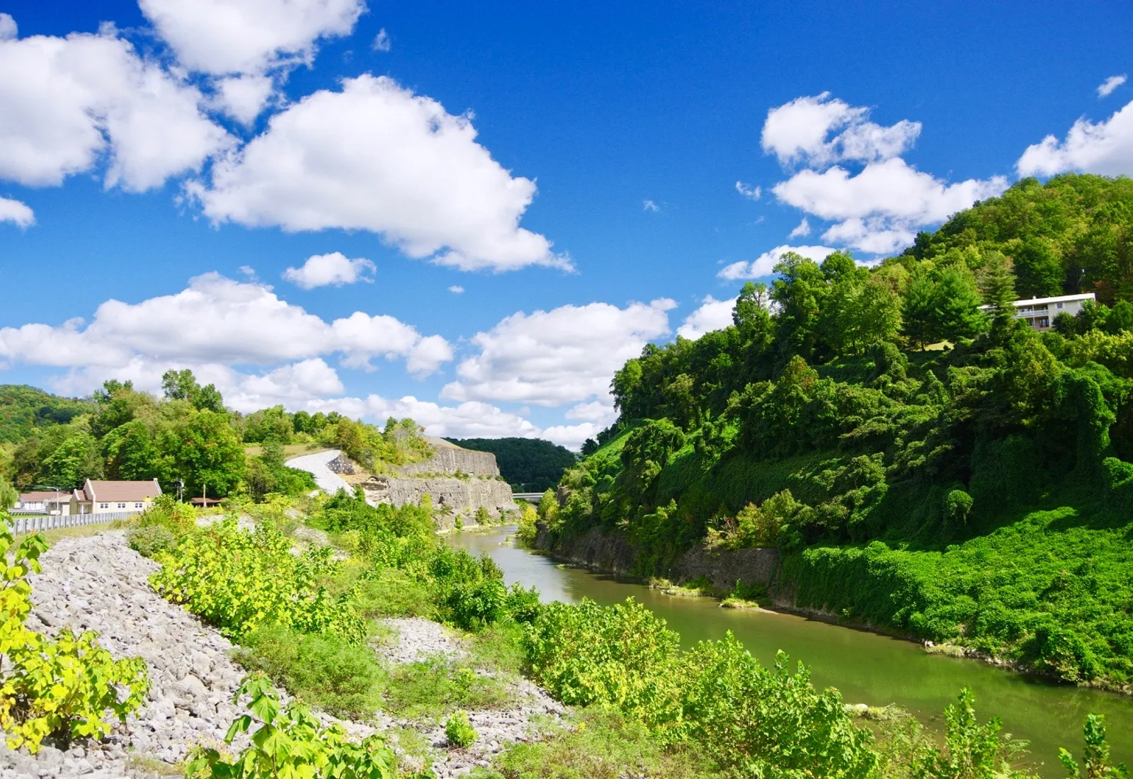
Photos help show what the access looks like and what the route actually feels like on the water.
Score & sources
Why this score
See the gauge, weather, and source notes behind today's call.
Why this scoreToday's evidence strength is checking
Evidence strength mostly comes down to three things: how direct the active gauge is, how clear the range is, and how fresh the data is.
- Checking evidence-strength notes.
- Checking evidence cautions.
Data behind the scoreGauge, thresholds, and timing
These are the live readings and threshold notes behind today's score.
| Gauge site | Cumberland River at Williamsburg, KY |
| Discharge | Checking |
| Gauge height | Checking |
| 24h trend | Checking |
| 24h change | Checking |
| Current band | Checking |
| Rain last 24h | Checking |
| Rain last 72h | Checking |
| Air temp | Checking |
| Water temp | Checking |
| Wind | Checking |
| Gusts | Checking |
| Rain timing | Checking |
| Target band | 300 cfs to 700 cfs |
| Low threshold | 300 cfs |
| High threshold | 700 cfs |
| Evidence strength behind the range | Official data source |
| Gauge observed | Checking |
| Paddle Today updated | Checking |
| Main source behind this score | KDFWR Upper Cumberland recommended Williamsburg flow band |
| Gauge source | Checking |
| Weather source | Checking |
| Rainfall source | Checking |
NotesWhat to know before you go
These notes cover the access details, route quirks, and source caveats most likely to matter once you get there.
- Official route chain4 Mile -> Artemus 9.8 mi plus Artemus -> Barbourville 5.1 mi
KDFWR lists both public site-to-site mileages on the Upper Cumberland corridor page, supporting this about 14.9-mile combination.
- Official level band300-700 cfs or 3.0-3.8 ft good
KDFWR rates the Williamsburg gauge as Low below 300 cfs or 3.0 ft, Good from 300 to 700 cfs or 3.0 to 3.8 ft, and High above that.
- Put-in access4 Mile Ramp, 36.7930, -83.7534
KDFWR access detail confirms the public ramp under the US-25E bridge north of Pineville.
- Take-out accessBarbourville Ramp, 36.8603, -83.8893
KDFWR access detail confirms the public Thompson Park ramp with paved parking and park amenities.
- Camping supportThompson Park RV campground with full hookups
KDFWR says the Barbourville ramp sits in Thompson Park, which includes an RV campground with full hookups.
- Live-gauge supportUSGS 03404000 at 1010 cfs / 4.20 ft
USGS Water Services returned same-day values for Cumberland River at Williamsburg, KY at 2026-07-03 18:00 EDT during this run.
Verify it yourselfCheck the source links
Use these links to double-check the gauge, route details, and access notes before you head out.
Paddler reports
Recent notes from paddlers
A few quick notes from people who were on this route recently.
Reports
Paddler reports
See recent photos and notes from people on the route.
Share your trip
Keep exploring
More routes to check next
Compare another stretch on this river, or jump to nearby options before you pick a plan.
Quick answers
Upper Cumberland River paddling FAQ
What water level is good for paddling Upper Cumberland River?
Paddle Today watches Cumberland River at Williamsburg, KY and treats 300 cfs to 700 cfs as the target band for this route, with weather and recent trend included in the final score.
Where does this Upper Cumberland River route start and end?
This route starts at 4 Mile Ramp and ends at Barbourville Ramp, about About 14.9 mi on the water.
Is this Upper Cumberland River route good for beginners?
This is listed as a moderate route. Expect more planning than an easy float, and use the live score, route notes, and source links before committing.
Flag a change
See something outdated?
Access, hazards, wood, and shuttle details change. Send a quick correction if something looks off.