
See all 5 routes on Wolf River
Wisconsin | Northwoods Wisconsin
Wolf River
Markton County M Landing to Big Smokey Falls Landing
Check current paddling conditions for this Wolf River route, including water level, recent gauge trend, weather, and route details.
Route snapshot
Loading the route snapshot. This usually takes a few seconds.
Today
Get the answer fast, then scan the route.
Start with the verdict, current conditions, route plan, and quick facts before you commit to the drive.
Today's conditions
Gauge
Recent trend
Checking preferred range.
Checking trend.
Gauge source
--Checking timestampMN DNR provides the current paddling level here, but not chart-ready recent samples.
Weather
Best window today
Checking weather.
Today by hour
Short-route forecast
Checking the next several hours.
Quick facts
Plan
Dial in the shuttle, distance, and access.
Use this section once the route looks viable and you need to turn it into an actual trip plan.
Access plan
Access, shuttle, and map
Launch at the County M DNR Landing near Markton and run Wolf River Section IV to Big Smokey Falls Landing. This is the advanced lower-Wolf whitewater classic, with long boulder gardens, multiple Class III drops, the Dalles Gorge, and Class IV Big Smokey Falls.
Put-in
Markton County M DNR LandingOpen mapCounty M has a large DNR landing with hand-carry paths and trailer turnaround, but the downstream corridor enters Menominee Tribal lands and requires a pass.
Take-out
Big Smokey Falls LandingOpen mapBig Smokey Falls has upper and lower landing options. Use the upper landing and left fork if portaging the falls; the left-fork slide below the footbridge is closed to running.
Pulling access map tiles. Usually under 5 seconds.
Access caveats and watch for
Access caveats
- County M has a large DNR landing with hand-carry paths and trailer turnaround, but the downstream corridor enters Menominee Tribal lands and requires a pass.
- Big Smokey Falls has upper and lower landing options. Use the upper landing and left fork if portaging the falls; the left-fork slide below the footbridge is closed to running.
- Do not treat reservation roads, shorelines, or outfitter landings as general public access. Confirm current rules before the shuttle.
Watch for
- Class III-IV features including Gilmore's Mistake, Pismire Falls, Sullivan Falls, Duck's Nest, Lunch Rock, Tea Kettle / Upper Dells, Lower Dells, and Big Smokey Falls.
- Powerful hydraulics, sticky holes, big waves, and fast rescue scenarios as the Langlade gauge rises above the broad 400-700 cfs target.
- Bony lines at Shotgun Eddy, Pismire, and Big Smokey below about 400 cfs.
- Deadfall, strainers, cold water, remote rescue logistics, and tribal access enforcement if you miss the planned take-out.
Route gallery
See this route on the water
Photos help show what the access looks like and what the route actually feels like on the water.
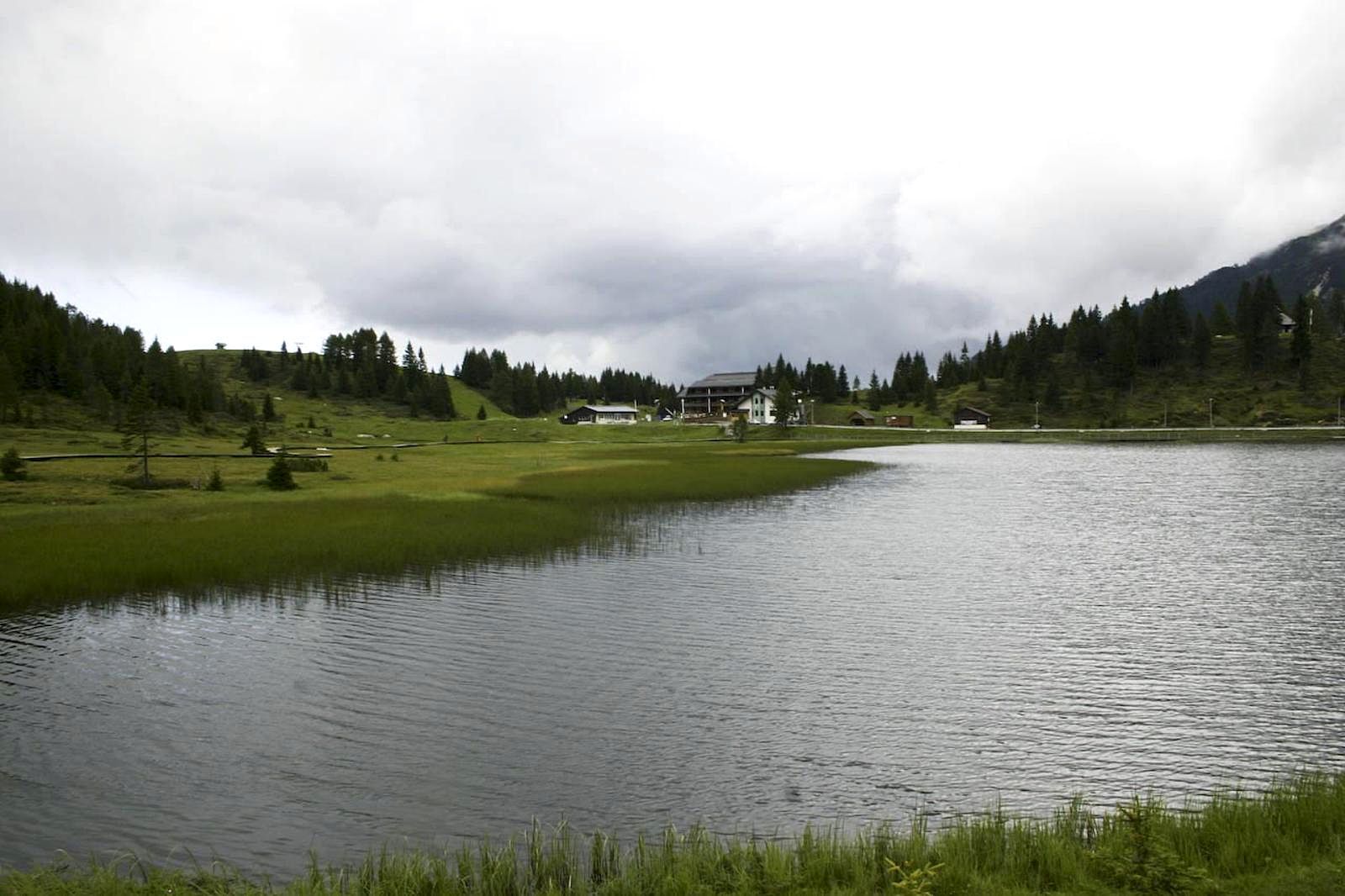
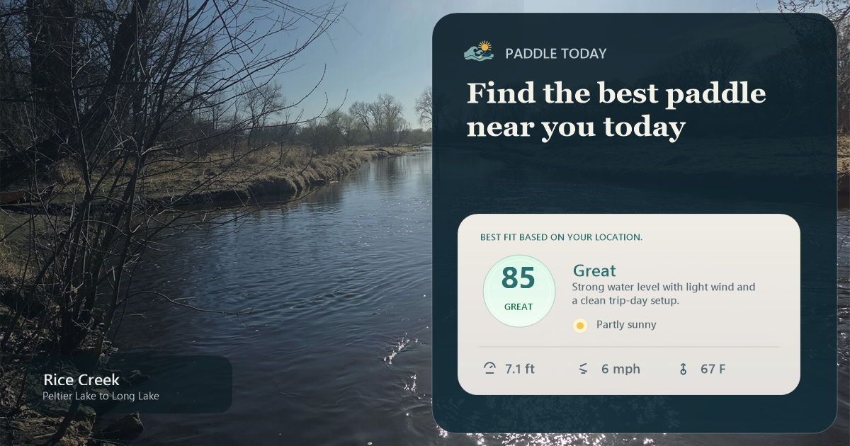
No approved route photos yet
Start the gallery with shots of the access, river character, or any detail that helps paddlers know what this run actually looks like.
Sources
Check the data behind today's call.
Use this section when the page shows stale data, limited confidence, or a call you want to verify before driving.
Why this scoreToday's data confidence is checking
Data confidence mostly comes down to three things: how direct the gauge is, how clear the range is, and how fresh the data is.
- Checking data confidence notes.
- Checking data confidence cautions.
OutlookTomorrow and weekend
This is a cautious early look. If the data is too thin, we leave it out.
Waiting on forecast.
Waiting on forecast.
Data behind the scoreGauge, thresholds, and timing
These are the live readings and threshold notes behind today's score.
| Gauge site | Wolf River at Langlade, WI |
| Discharge | Checking |
| Gauge height | Checking |
| 24h trend | Checking |
| 24h change | Checking |
| Current band | Checking |
| Rain last 24h | Checking |
| Rain last 72h | Checking |
| Air temp | Checking |
| Water temp | Checking |
| Wind | Checking |
| Gusts | Checking |
| Rain timing | Checking |
| Target band | 400 cfs to 700 cfs |
| Low threshold | 250 cfs |
| High threshold | 1,000 cfs |
| Data confidence behind the range | Local route guidance |
| Gauge observed | Checking |
| Paddle Today updated | Checking |
| Main source behind this score | Wisconsin Trail Guide Wolf River Markton-to-Big Smokey Falls flow bands |
| Gauge source | Checking |
| Weather source | Checking |
| Rainfall source | Checking |
NotesWhat to know before you go
These notes cover the access details, route quirks, and source caveats most likely to matter once you get there.
- Route-specific bands400-700 cfs very good range
Wisconsin Trail Guide treats below 250 cfs as not recommended, 250-400 cfs as low runnable, 400-700 cfs as very good, 700-1,000 cfs as advanced challenging water, 1,000-1,500 cfs as high Class IV, and 1,500+ cfs as rare extreme water.
- Same-river gaugeUSGS 04074950
Wisconsin Trail Guide says the Langlade gauge is about 9.5 miles upstream of this segment and should accurately indicate current conditions on the reach.
- Endpoint coordinatesCounty M 45.12518, -88.66322; Big Smokey 45.01644, -88.63758
Wisconsin Trail Guide publishes NAD83 / WGS84 GPS points for County M DNR Landing and Big Smokey Falls Landing on the W6 guide.
- Access requirementMenominee pass required
Wisconsin Trail Guide states that paddlers must obtain a Menominee Indian Tribe pass through Big Smokey Falls Rafting or Shotgun Eddy Campground and Rafting before paddling this tribal-lands section.
- Route character12.7 miles; Class III-IV
Wisconsin Trail Guide lists the Markton-to-Big Smokey Falls run as 12.7 miles, 5 to 6 hours by kayak/canoe, 179 feet of drop, and Class IV as the most difficult whitewater.
- Whitewater corroborationAW Section IV
American Whitewater documents the Wolf Otter Slide-to-Big Smokey Falls Section IV reach and ties it to the Wolf River at Langlade gauge.
Verify it yourselfCheck the source links
Use these links to double-check the gauge, route details, and access notes before you head out.
Paddler reports
Recent notes from paddlers
A few quick notes from people who were on this route recently.
Reports
Photos, paddler notes, and updates.
See what others have shared, then add a condition report, upload photos, or flag anything that needs fixing.
Share your trip
Keep exploring
More routes to check next
Compare another stretch on this river, or jump to nearby options before you pick a plan.
Quick answers
Wolf River paddling FAQ
What water level is good for paddling Wolf River?
Paddle Today watches Wolf River at Langlade, WI and treats 400 cfs to 700 cfs as the target band for this route, with weather and recent trend included in the final score.
Where does this Wolf River route start and end?
This route starts at Markton County M DNR Landing and ends at Big Smokey Falls Landing, about 12.7 mi on the water.
Is this Wolf River route good for beginners?
This is listed as a hard route. Treat the live score as a planning aid, then confirm conditions, hazards, access, and group skill before launching.
Flag a change
See something outdated?
Access, hazards, wood, and shuttle details change. Send a quick correction if something looks off.