
See all 5 routes on Big South Fork
Tennessee | Cumberland Plateau
Big South Fork
Burnt Mill Bridge to Leatherwood Ford
Check current paddling conditions for this Big South Fork route, including water level, recent gauge trend, weather, and route details.
Route snapshot
Loading the route snapshot. This usually takes a few seconds.
Today
Get the answer fast, then scan the route.
Start with the verdict, current conditions, route plan, and quick facts before you commit to the drive.
Today's conditions
Gauge
Recent trend
Checking preferred range.
Checking trend.
Gauge source
--Checking timestampMN DNR provides the current paddling level here, but not chart-ready recent samples.
Weather
Best window today
Checking weather.
Today by hour
Short-route forecast
Checking the next several hours.
Quick facts
Plan
Dial in the shuttle, distance, and access.
Use this section once the route looks viable and you need to turn it into an actual trip plan.
Access plan
Access, shuttle, and map
Launch at Burnt Mill Bridge on Clear Fork and take out at Leatherwood Ford for the classic Big South Fork gorge extension. Use the Leatherwood Ford USGS gauge, and skip the route when the water is below the rocky floor, above the high cutoff, rising quickly, or outside the group skill set.
Put-in
Burnt Mill Bridge access on Clear ForkOpen mapNPS publishes access directions for Burnt Mill Bridge and Leatherwood Ford, but this is still a remote gorge shuttle with limited exits and steep terrain.
Take-out
Leatherwood Ford access / USGS gauge corridorOpen mapLeatherwood Ford is the planned take-out and has the direct USGS gauge corridor; do not drift past the take-out without a separate downstream plan.
Pulling access map tiles. Usually under 5 seconds.
Access caveats and watch for
Access caveats
- NPS publishes access directions for Burnt Mill Bridge and Leatherwood Ford, but this is still a remote gorge shuttle with limited exits and steep terrain.
- Leatherwood Ford is the planned take-out and has the direct USGS gauge corridor; do not drift past the take-out without a separate downstream plan.
- O&W Bridge and Pine Creek are potential intermediate access or emergency reference points, but they should not be treated as easy rescue substitutes.
- Check NPS park alerts before launching. Big South Fork access, roads, trailheads, or river corridors can close after storms, floods, maintenance, or emergency conditions.
Watch for
- Class III-IV gorge rapids, undercut sandstone, sieves, hydraulics, pin rocks, ledges, and long pools that can slow the trip.
- Very low water below about 500 cfs, when the NPS descriptions call the gorge technical and rocky with pinning potential.
- Powerful water above about 3,500 cfs, when rescue gets difficult and waves, boils, whirlpools, and continuous current become much more consequential.
- Fast rain rises on Cumberland Plateau streams; NPS documents dramatic rises after heavy precipitation and warns water can rise rapidly with little warning.
- Strainers, fresh flood wood, cold-water swims, limited cell service, remote rescue exposure, and steep walk-outs.
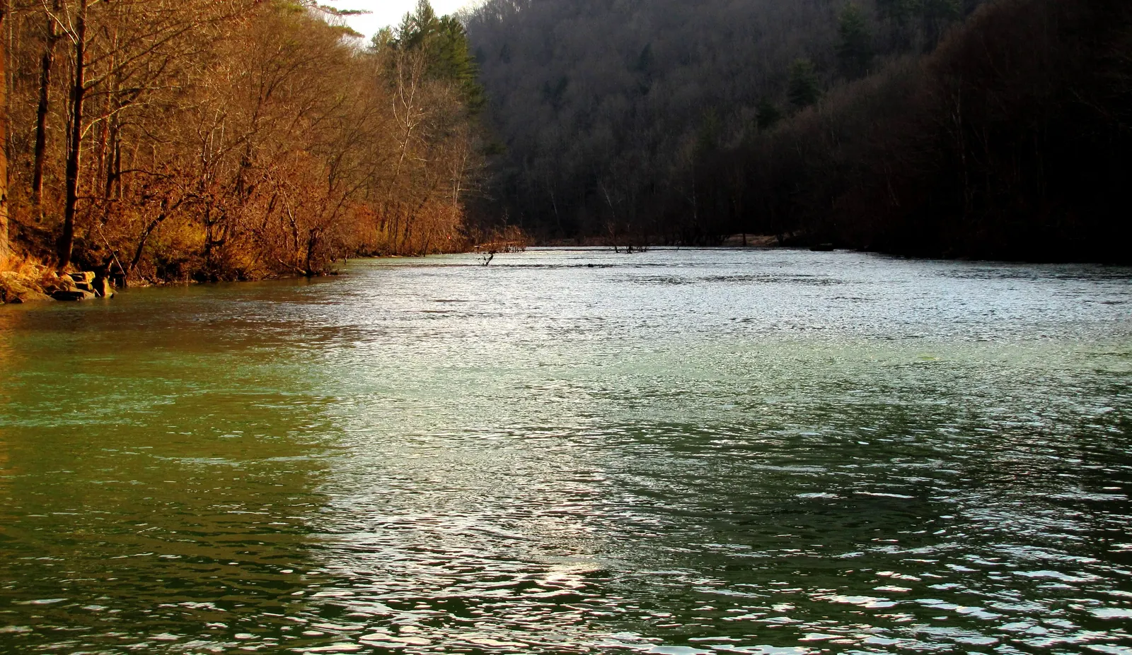
Route gallery
See this route on the water
Photos help show what the access looks like and what the route actually feels like on the water.
Sources
Check the data behind today's call.
Use this section when the page shows stale data, limited confidence, or a call you want to verify before driving.
Why this scoreToday's data confidence is checking
Data confidence mostly comes down to three things: how direct the gauge is, how clear the range is, and how fresh the data is.
- Checking data confidence notes.
- Checking data confidence cautions.
OutlookTomorrow and weekend
This is a cautious early look. If the data is too thin, we leave it out.
Waiting on forecast.
Waiting on forecast.
Data behind the scoreGauge, thresholds, and timing
These are the live readings and threshold notes behind today's score.
| Gauge site | South FK Cumberland River at Leatherwood Ford, TN |
| Discharge | Checking |
| Gauge height | Checking |
| 24h trend | Checking |
| 24h change | Checking |
| Current band | Checking |
| Rain last 24h | Checking |
| Rain last 72h | Checking |
| Air temp | Checking |
| Water temp | Checking |
| Wind | Checking |
| Gusts | Checking |
| Rain timing | Checking |
| Target band | 1,000 cfs to 2,500 cfs |
| Low threshold | 500 cfs |
| High threshold | 3,500 cfs |
| Data confidence behind the range | Official and local sources |
| Gauge observed | Checking |
| Paddle Today updated | Checking |
| Main source behind this score | NPS Big South Fork river-level descriptions for the Leatherwood Ford gauge |
| Gauge source | Checking |
| Weather source | Checking |
| Rainfall source | Checking |
NotesWhat to know before you go
These notes cover the access details, route quirks, and source caveats most likely to matter once you get there.
- Official route shapeBurnt Mill Bridge to Leatherwood Ford, 11 miles
NPS lists Burnt Mill Bridge to Leatherwood Ford as an 11-mile Big South Fork gorge run with Class III-IV difficulty, 20 feet per mile average drop, and fall/winter/spring use season.
- Level model500 / 1,000-2,500 / 3,500 cfs
NPS-hosted Leatherwood Ford descriptions call 500 cfs very low and technical, 1,000 cfs optimum for open canoes, 1,800 to 2,500 cfs increasingly big Class III-IV water, and 3,500 cfs powerful with difficult rescue. The app uses a guarded whitewater target range and high cutoff from those descriptions.
- Direct live gaugeUSGS 03410210
USGS South FK Cumberland River at Leatherwood Ford showed current May 31, 2026 discharge and gage-height observations during review, including 3,860 cfs and 9.80 ft at 14:30 EDT.
- Access supportNPS Burnt Mill Bridge and Leatherwood Ford access directions
NPS publishes driving directions for both Burnt Mill Bridge and Leatherwood Ford, and separately lists Leatherwood Ford as the most accessible take-out for the Big South Fork gorge run.
- Whitewater hazardsUndercuts, sieves, Class III-IV drops, limited exits
American Whitewater identifies the Confluence-to-Leatherwood reach as Class II-IV wilderness whitewater with deep undercuts, sieves, major rapids, long pools, and limited access. NPS safety material also warns about strainers, hydraulics, fast-water foot entrapment, and difficult rescue.
- Coordinate anchors36.3800, -84.6200 to 36.4710, -84.6730
Burnt Mill Bridge is anchored to USGS-topo-derived public bridge coordinates. The take-out is anchored to the Leatherwood Ford access/gauge corridor, where the USGS gauge and NPS access are at the planned finish.
Verify it yourselfCheck the source links
Use these links to double-check the gauge, route details, and access notes before you head out.
- NPS Big South Fork river run descriptions
- NPS Big South Fork river levels
- NPS Big South Fork river gauges
- NPS Big South Fork river access points
- USGS 03410210 Leatherwood Ford monitoring location
- USGS 03410210 legacy current conditions
- American Whitewater Big South Fork gorge
- American Whitewater Clear Fork Burnt Mill to Confluence
Paddler reports
Recent notes from paddlers
A few quick notes from people who were on this route recently.
Reports
Photos, paddler notes, and updates.
See what others have shared, then add a condition report, upload photos, or flag anything that needs fixing.
Share your trip
Keep exploring
More routes to check next
Compare another stretch on this river, or jump to nearby options before you pick a plan.
Quick answers
Big South Fork paddling FAQ
What water level is good for paddling Big South Fork?
Paddle Today watches South FK Cumberland River at Leatherwood Ford, TN and treats 1,000 cfs to 2,500 cfs as the target band for this route, with weather and recent trend included in the final score.
Where does this Big South Fork route start and end?
This route starts at Burnt Mill Bridge access on Clear Fork and ends at Leatherwood Ford access / USGS gauge corridor, about About 11 mi on the water.
Is this Big South Fork route good for beginners?
This is listed as a hard route. Treat the live score as a planning aid, then confirm conditions, hazards, access, and group skill before launching.
Flag a change
See something outdated?
Access, hazards, wood, and shuttle details change. Send a quick correction if something looks off.