
See all 2 routes on Antietam Creek
Maryland | Washington County / Western Maryland
Antietam CreekMD 34 / Porterstown Bridge to Antietam Creek C&O Campground and Potomac confluence
A bounded Lower Antietam moving-water route from the MD 34/Porterstown Bridge access to the C&O Antietam Creek Campground near the Potomac confluence. The Class I–II creek has dam ruins, a two-foot Burnside weir, sharp turns, strainers, and a hard campground endpoint that requires a short downstream Potomac connection followed by an upstream paddle to land.
Checking current river conditions…
Route location
Loading the route map.
Need to know
Why this call

Route overview
Trip details
Access rules, camping, seasonal conditions and trip length.
Distance, difficulty, rules and camping
Plan ahead
Tomorrow and the weekend
Forecasts can change. Check current conditions again before leaving.
Waiting on forecast.
Waiting on forecast.
Plan
Plan your trip
Launch points, shuttle details, distance, and access notes.
Route logistics
Access and shuttle
A bounded Lower Antietam moving-water route from the MD 34/Porterstown Bridge access to the C&O Antietam Creek Campground near the Potomac confluence. The Class I–II creek has dam ruins, a two-foot Burnside weir, sharp turns, strainers, and a hard campground endpoint that requires a short downstream Potomac connection followed by an upstream paddle to land.
Access map
Put-in
MD 34 / Porterstown Bridge downstream river-left access anchorThe MD 34 coordinate is an official Porterstown Bridge monitoring anchor paired with AW’s downstream river-left put-in description; it does not by itself establish legal roadside parking or a maintained launch. Confirm the current public carry and do not use private driveways or bridge shoulders without authorization.
Take-out
Antietam Creek C&O Campground / Potomac-side take-out anchorAntietam Creek Campground is a public C&O campground, but Recreation.gov states that campers walk from Canal Road and that the creek and Potomac can rise or flood. Confirm the legal campsite/vehicle arrangement and actual river landing before choosing it as a take-out.
Road shuttle
Access notes and hazards
Access caveats
- The MD 34 coordinate is an official Porterstown Bridge monitoring anchor paired with AW’s downstream river-left put-in description; it does not by itself establish legal roadside parking or a maintained launch. Confirm the current public carry and do not use private driveways or bridge shoulders without authorization.
- Antietam Creek Campground is a public C&O campground, but Recreation.gov states that campers walk from Canal Road and that the creek and Potomac can rise or flood. Confirm the legal campsite/vehicle arrangement and actual river landing before choosing it as a take-out.
- Most bridge crossings and banks outside the named public endpoints have landowner or historic-preservation access issues. Do not treat the battlefield, bridge, or private bank as an intermediate bailout.
Watch for
- USGS 01619500 stage and discharge trend
- 2.8 ft scrape-free planning context, recent rain, fast rise, cold water, downed trees, strainers, sharp turns, and bridge hydraulics
- Burnside Bridge no-landing rule, intact weir, Furnace Rapids, C&O campground reservation/parking, Potomac paddle-back, and private-bank boundaries
Plan this paddle
Choose your trip times
No account needed. Check the selected access points above, then choose both dates and times. For an overnight paddle, set take-out to the following date.
Times use the selected time zone. Check it against the river’s location before saving or sharing.
Browser plans stay on this device. Sharing opens your device’s share tools or gives you text to copy.
Download GPX Route geometry only; no schedule required.
Conditions
Water levels, gauge history, and hourly forecast
Check the forecast and local water levels before launching.
USGS measurements
More about this gauge
These measurements come from the gauge station. Water depth and current can differ along your trip.
River camera · USGS
View at the gauge
Antietam Creek near Sharpsburg, MD. This view may be outside your paddling reach. Images are periodic and do not establish safe conditions.
Gauge detail
Water-level history and forecastDetailed view
Gauge
Recent trend
Checking preferred range.
Checking trend.
Gauge source
--Checking timestampWeather
Hourly forecast
Checking weather.
Loading today's forecast.
Next 8 hours
Short-route forecast
Checking the next several hours.
Route gallery
Photos
Check each caption: some photos show the surrounding area rather than this exact trip.
Sources
Data and sources
Read the access and hazard notes and check the linked guides. We do not issue a daily score for this trip.
NotesWhat to know before you go
These notes cover the access details, route quirks, and source caveats most likely to matter once you get there.
- Named moving-water corridorMD 34 to Potomac, approximately 5.8 miles, Class I–II
American Whitewater names the route, endpoint access, Burnside no-landing rule, weir, Furnace Rapids, wood hazards, and Potomac paddle-back.
- Maryland public paddling guidanceRoute 34 to the Potomac is a popular float when suitable flow is available
Maryland DNR identifies the Antietam Creek Water Trail soft-launch network and specifically calls the Route 34-to-Potomac float popular, while warning that other banks are often private.
- Endpoint coordinate evidencePorterstown Bridge official monitoring anchor; C&O Antietam Creek Campground coordinate
The put-in coordinate is the official Maryland environmental bridge/monitoring anchor. The take-out coordinate is the C&O Canal Trust campground coordinate, paired with AW’s confluence/take-out description and Recreation.gov campground access rules.
- Direct flow evidenceUSGS 01619500 Antietam Creek near Sharpsburg
USGS identifies a continuous stage/discharge station on the same creek approximately four miles upstream of the mouth; local inflows and storm response still require visual inspection.
- Camping postureAntietam Creek C&O Campground at the endpoint
Recreation.gov documents the campground, walk-in/boat-in posture, facilities, and Canal Road shoulder parking.
- Live gaugeUSGS 01619500, Antietam Creek near Sharpsburg, MD
This is a direct same-river station. Readings are provisional and must be combined with trend and visual conditions.
- Approved route imageryRights-cleared public-agency or public-domain corridor image
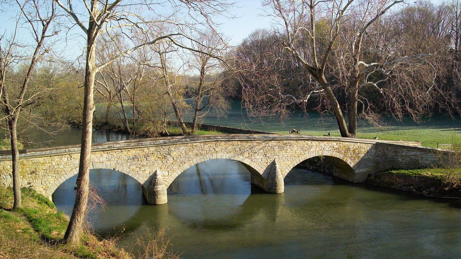
National Park Service public-agency image of Burnside Bridge over Antietam Creek used as corridor context; the image does not certify current flow, landing status, weir conditions, or battlefield rules.
Verify it yourselfCheck the source links
Use these links to double-check the gauge, route details, and access notes before you head out.
- American Whitewater Lower Antietam/Burnside Bridge Section
- Maryland DNR Antietam Creek paddling and access
- USGS Antietam Creek near Sharpsburg current conditions
- Recreation.gov Antietam Creek Campground
- C&O Canal Trust access and camping context
- USGS 01619500 monitoring location
- USGS 01619500 current conditions
- Approved corridor image
Paddler reports
Recent notes from paddlers
A few quick notes from people who were on this route recently.
Reports
Paddler reports
See recent photos and notes from people on the route.
Share your trip
Keep exploring
More routes to check next
Compare another stretch on this river, or explore different rivers within 75 straight-line miles.
More in Maryland
All 131 routesMore on Antietam Creek
All 2Nearby routes within 75 miles
Quick answers
Antietam Creek paddling FAQ
What water level is best for the MD 34 / Porterstown Bridge to Antietam Creek C&O Campground and Potomac confluence route on the Antietam Creek?
This planning route has no live Paddle Today score. Review the linked water-level sources, current access notices and route-specific hazards before travel.
Where does the MD 34 / Porterstown Bridge to Antietam Creek C&O Campground and Potomac confluence route on the Antietam Creek start and end?
This route starts at MD 34 / Porterstown Bridge downstream river-left access anchor and ends at Antietam Creek C&O Campground / Potomac-side take-out anchor, Approximately 5.8 river miles, American Whitewater Lower Antietam/Burnside Bridge Section on the water.
Is the MD 34 / Porterstown Bridge to Antietam Creek C&O Campground and Potomac confluence route on the Antietam Creek suitable for beginners?
This is listed as a moderate route. Review the difficulty notes, hazards and current access conditions against your group's skills. No live score assesses this trip.
Flag a change
See something outdated?
Access, hazards, wood, and shuttle details change. Send a quick correction if something looks off.