
See all 20 routes on Eleven Point River
Missouri | Missouri Ozarks
Eleven Point River
Thomasville River Access to Whitten River Access
Check current paddling conditions for this Eleven Point River route, including water level, recent gauge trend, weather, and route details.
Route location
Loading the route snapshot. This usually takes a few seconds.
Need to know
Why this call

Conditions
Gauge history and hourly forecast
The top card is the quick read. This lower section keeps the longer gauge trend, gauge context, and hourly forecast together.
Gauge detail
Gauge history & hourly forecastDetailed view
Gauge
Recent trend
Checking preferred range.
Checking trend.
Gauge source
--Checking timestampMN DNR provides the current paddling level here, but not chart-ready recent samples.
Weather
Hourly forecast
Checking weather.
Loading today's forecast.
Next 8 hours
Short-route forecast
Checking the next several hours.
Route overview
Quick facts and what's next
Distance, difficulty, shuttle basics, and the near-term outlook before you commit to the drive.
Quick facts
Plan ahead
Upcoming outlook
These are early planning reads. Re-check live conditions before you commit to the drive.
Waiting on forecast.
Waiting on forecast.
Plan
Plan your trip
Launch points, shuttle details, distance, and access notes.
Route logistics
Access and shuttle
Launch at Thomasville and take out at Whitten for a full upper-to-lower Eleven Point continuation. Use the Bardley gauge only as a conservative same-river estimate and build a real overnight or all-day plan instead of assuming the lower Whitten finish makes the upper miles easy.
Prepare this trip
Take the plan with you
Download the canonical route, add a calendar hold, or send a simple float plan to your group.
Put-in
Thomasville River AccessThe current Forest Service Thomasville page says the upper miles are usually best from March through June and can require walking or portages in drought season.
Take-out
Whitten River AccessThe Bardley gauge is downstream of much of the route, so the Thomasville half can still feel scrape-prone near the 300 cfs floor even if the lower miles look more comfortable.
Plan this segment
Access caveats and watch for
Access caveats
- The current Forest Service Thomasville page says the upper miles are usually best from March through June and can require walking or portages in drought season.
- The Bardley gauge is downstream of much of the route, so the Thomasville half can still feel scrape-prone near the 300 cfs floor even if the lower miles look more comfortable.
- Whitten can be busy on weekends with both motorized and nonmotorized users. Do not assume private banks, informal pull-offs, or undesignated gravel bars are legal substitutes for a planned finish or overnight stop.
Watch for
- Old bridge remnants, shallow riffles, and possible walking or short portages before Greer Spring.
- Mary Decker Shoal, cold-water transition, fresh wood, blind bends, and rapid rises after rain on a very long route.
- Fatigue, limited developed exits, and the need to use legal float camps or another source-backed overnight plan rather than forcing the continuation without margin.
Route gallery
See this route on the water
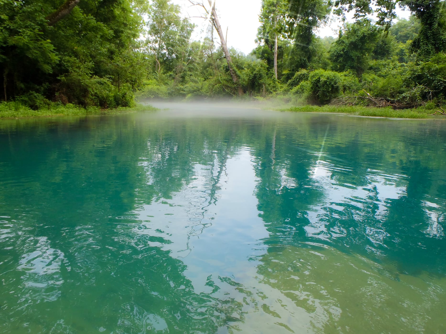
Photos help show what the access looks like and what the route actually feels like on the water.
Score & sources
Why this score
See the gauge, weather, and source notes behind today's call.
Why this scoreToday's evidence strength is checking
Evidence strength mostly comes down to three things: how direct the active gauge is, how clear the range is, and how fresh the data is.
- Checking evidence-strength notes.
- Checking evidence cautions.
Data behind the scoreGauge, thresholds, and timing
These are the live readings and threshold notes behind today's score.
| Gauge site | Eleven Point River near Bardley, MO |
| Discharge | Checking |
| Gauge height | Checking |
| 24h trend | Checking |
| 24h change | Checking |
| Current band | Checking |
| Rain last 24h | Checking |
| Rain last 72h | Checking |
| Air temp | Checking |
| Water temp | Checking |
| Wind | Checking |
| Gusts | Checking |
| Rain timing | Checking |
| Ideal range | Needs paddler reports |
| Known low-water floor | 300 cfs |
| High threshold | Not calibrated yet |
| Evidence strength behind the range | Local route guidance |
| Gauge observed | Checking |
| Paddle Today updated | Checking |
| Main source behind this score | Rivers.MOHERP Bardley gauge rating and adjacent upper-to-lower Eleven Point trip evidence |
| Gauge source | Checking |
| Weather source | Checking |
| Rainfall source | Checking |
NotesWhat to know before you go
These notes cover the access details, route quirks, and source caveats most likely to matter once you get there.
- Official route shapeThomasville to Whitten, about 27.6 river miles
The Eleven Point National Wild and Scenic River page places Whitten at mile 27.6 from Thomasville, and the current Whitten page still names the 11-mile Greer-to-Whitten float that anchors the lower half of this continuation.
- Public put-inThomasville River Access, Site Open
The current Forest Service Thomasville page marks the site open, identifies the State Highway 99 bridge as the put-in, publishes coordinates 36.78548, -91.528058, and notes vault toilets.
- Public take-outWhitten River Access
The current Forest Service Whitten page says the access is on the right bank with a vault toilet, single-lane concrete boat ramp, trailer parking, and coordinates 36.732356, -91.214837.
- Gauge checkUSGS 07071500 at 483 cfs / 2.60 ft
Same-day USGS Water Services returned 483 cfs and 2.60 ft at 2026-07-13 08:30 CDT for Eleven Point River near Bardley, the direct same-river gauge already used by adjacent Eleven Point routes.
- Conservative floor300 cfs minimum-only
Rivers.MOHERP still rates the Bardley gauge Good beginning at 300 cfs. Paddle Today keeps only that conservative floor and does not infer an ideal range or upper cutoff for this long continuation.
- Route characterUpper-river shallows into cold-water trout corridor
The current Forest Service Thomasville page says the upper miles can require walking or portages in drought season, while the current Whitten page still names the popular 11-mile Greer-to-Whitten float in the colder lower corridor.
Verify it yourselfCheck the source links
Use these links to double-check the gauge, route details, and access notes before you head out.
- Forest Service Thomasville River Access
- Forest Service Greer Crossing Recreation Area
- Forest Service Turner Mill South River Access
- Forest Service Whitten River Access
- Forest Service Eleven Point National Wild and Scenic River
- MDC Eleven Point River prospects
- Rivers.MOHERP Eleven Point Bardley gauge
- USGS 07071500 legacy current conditions
- USGS 07071500 monitoring location
Paddler reports
Recent notes from paddlers
A few quick notes from people who were on this route recently.
Reports
Paddler reports
See recent photos and notes from people on the route.
Share your trip
Keep exploring
More routes to check next
Compare another stretch on this river, or jump to nearby options before you pick a plan.
More in Missouri
All 76 routesMore on Eleven Point River
All 20Nearby routes by distance
Quick answers
Eleven Point River paddling FAQ
What water level is good for paddling Eleven Point River?
Paddle Today watches Eleven Point River near Bardley, MO and uses 300 cfs as the conservative low-water floor for this route. The ideal range still needs more paddler reports.
Where does this Eleven Point River route start and end?
This route starts at Thomasville River Access and ends at Whitten River Access, about About 27.6 mi by Forest Service river miles on the water.
Is this Eleven Point River route good for beginners?
This is listed as a moderate route. Expect more planning than an easy float, and use the live score, route notes, and source links before committing.
Flag a change
See something outdated?
Access, hazards, wood, and shuttle details change. Send a quick correction if something looks off.